MyTopo
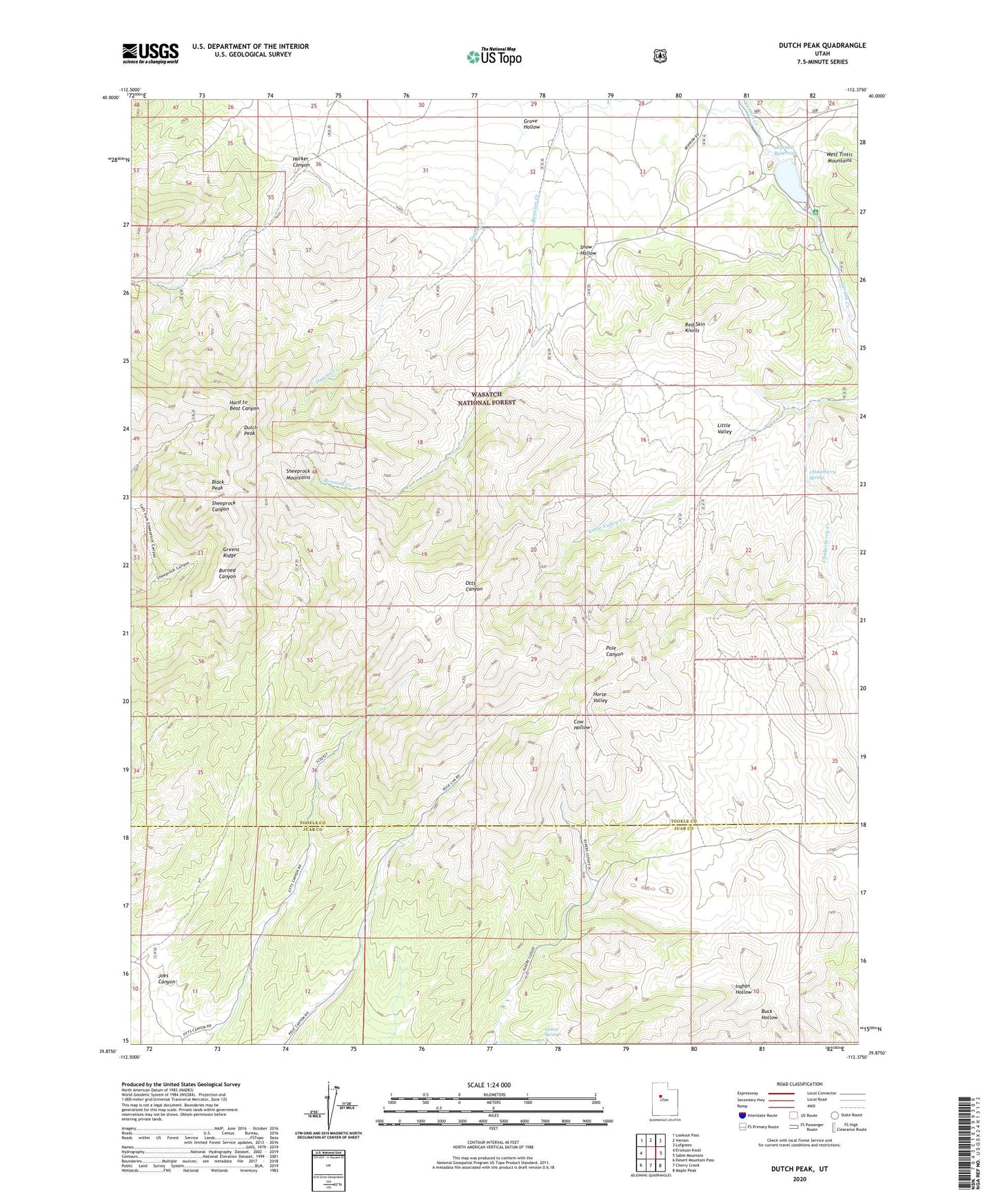
Dutch Peak Utah US Topo Map
Couldn't load pickup availability
Also explore the Dutch Peak Forest Service Topo of this same quad for updated USFS data
2023 topographic map quadrangle Dutch Peak in the state of Utah. Scale: 1:24000. Based on the newly updated USGS 7.5' US Topo map series, this map is in the following counties: Tooele, Juab. The map contains contour data, water features, and other items you are used to seeing on USGS maps, but also has updated roads and other features. This is the next generation of topographic maps. Printed on high-quality waterproof paper with UV fade-resistant inks.
Quads adjacent to this one:
West: Erickson Knoll
Northwest: Lookout Pass
North: Vernon
Northeast: Lofgreen
East: Sabie Mountain
Southeast: Maple Peak
South: Cherry Creek
Southwest: Desert Mountain Pass
This map covers the same area as the classic USGS quad with code o39112h4.
Contains the following named places: Black Peak, Chokecherry Creek, Chokecherry Spring, Dutch Peak, Greens Ridge, Grove Hollow, Harker Canyon, Indian Springs, Joes Canyon, Little Valley, Little Valley Campground, Red Skin Knolls, Sheeprock Mountains, Snow Hollow, Vernon Dam, Vernon Reservoir, Wasatch National Forest-Vernon Division