MyTopo
McIntyre Utah US Topo Map
Couldn't load pickup availability
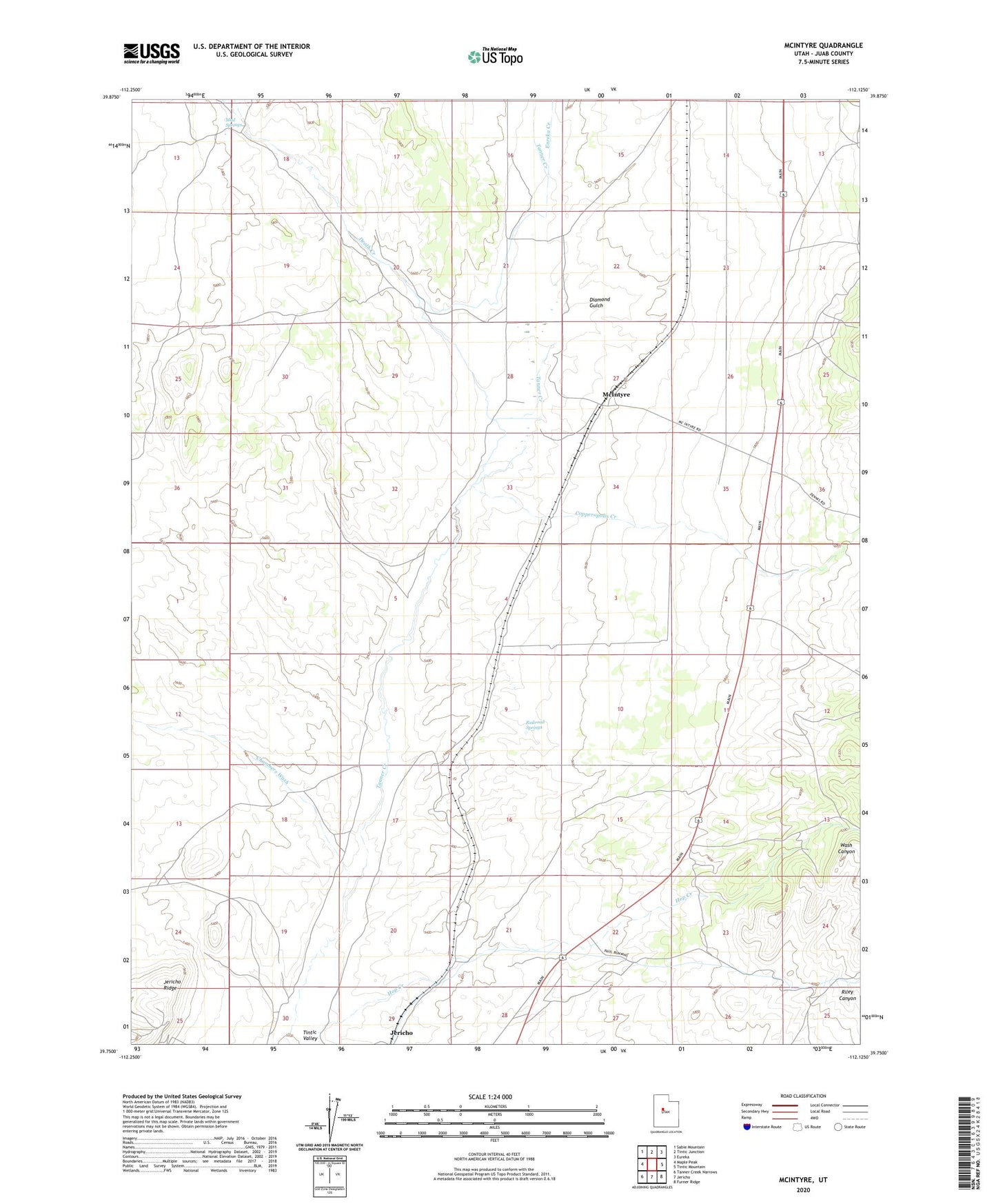
2023 topographic map quadrangle McIntyre in the state of Utah. Scale: 1:24000. Based on the newly updated USGS 7.5' US Topo map series, this map is in the following counties: Juab. The map contains contour data, water features, and other items you are used to seeing on USGS maps, but also has updated roads and other features. This is the next generation of topographic maps. Printed on high-quality waterproof paper with UV fade-resistant inks.
Quads adjacent to this one:
West: Maple Peak
Northwest: Sabie Mountain
North: Tintic Junction
Northeast: Eureka
East: Tintic Mountain
Southeast: Furner Ridge
South: Jericho
Southwest: Tanner Creek Narrows
This map covers the same area as the classic USGS quad with code o39112g2.
Contains the following named places: Chambers Wash, Copperopolis Creek, Death Creek, Devil Creek, Diamond Gulch, Eureka Creek, Hop Creek, Jericho, McIntyre, Mud Springs, No Name Well, Railroad Springs, Riley Canyon, Tintic Ranch