MyTopo
Hells Kitchen Canyon SW Utah US Topo Map
Couldn't load pickup availability
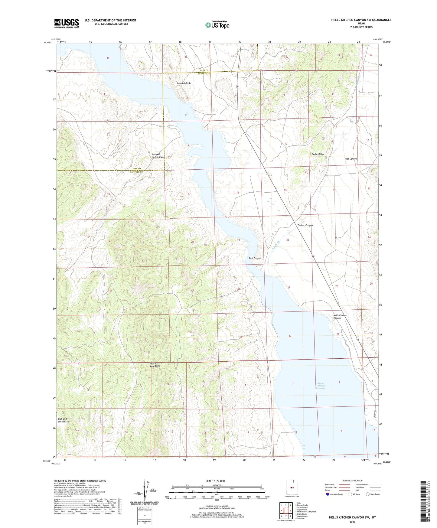
2023 topographic map quadrangle Hells Kitchen Canyon SW in the state of Utah. Scale: 1:24000. Based on the newly updated USGS 7.5' US Topo map series, this map is in the following counties: Sanpete, Juab. The map contains contour data, water features, and other items you are used to seeing on USGS maps, but also has updated roads and other features. This is the next generation of topographic maps. Printed on high-quality waterproof paper with UV fade-resistant inks.
Quads adjacent to this one:
West: Scipio North
Northwest: Mills
North: Skinner Peaks
Northeast: Chriss Canyon
East: Hells Kitchen Canyon SE
Southeast: Gunnison
South: Hayes Canyon
Southwest: Scipio South
This map covers the same area as the classic USGS quad with code o39111c8.
Contains the following named places: Cedar Ridge, Flat Canyon, Hells Kitchen Canyon, Maple Creek, Painted Rock Canyon, Painted Rocks, Red Canyon, Sevier Bridge Reservoir, Timber Canyon, Valley Mountains