MyTopo
Scipio South Utah US Topo Map
Couldn't load pickup availability
Also explore the Scipio South Forest Service Topo of this same quad for updated USFS data
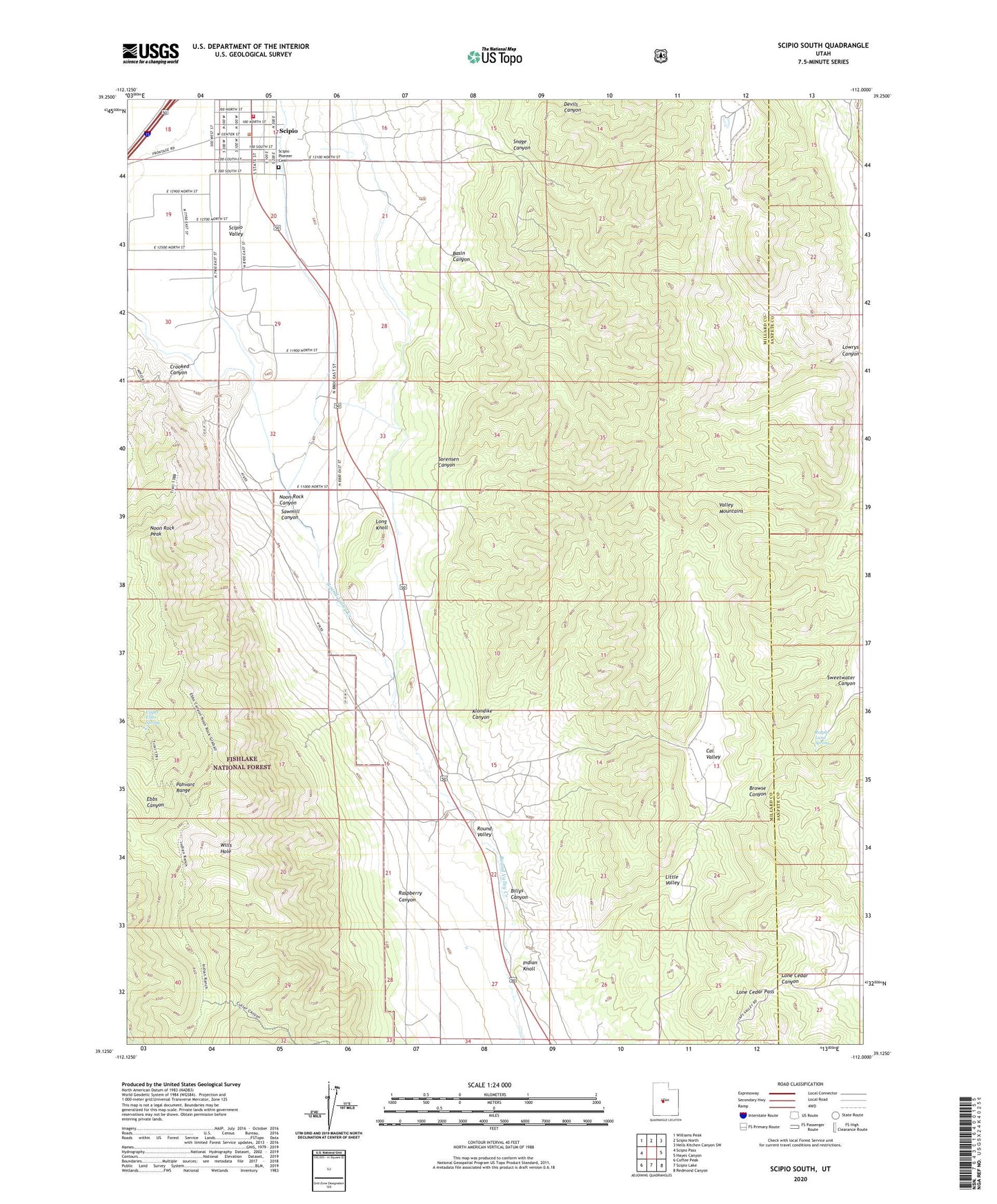
2023 topographic map quadrangle Scipio South in the state of Utah. Scale: 1:24000. Based on the newly updated USGS 7.5' US Topo map series, this map is in the following counties: Millard, Sanpete. The map contains contour data, water features, and other items you are used to seeing on USGS maps, but also has updated roads and other features. This is the next generation of topographic maps. Printed on high-quality waterproof paper with UV fade-resistant inks.
Quads adjacent to this one:
West: Scipio Pass
Northwest: Williams Peak
North: Scipio North
Northeast: Hells Kitchen Canyon SW
East: Hayes Canyon
Southeast: Redmond Canyon
South: Scipio Lake
Southwest: Coffee Peak
This map covers the same area as the classic USGS quad with code o39112b1.
Contains the following named places: Basin Canyon, Billys Canyon, Cal Valley, Crooked Canyon, Indian Knoll, Klondike Canyon, Little Valley, Lone Cedar Pass, Long Knoll, Lowrys Canyon, Noon Rock Canyon, Noon Rock Peak, Ralph Lund Spring, Raspberry Canyon, Round Valley, Round Valley Creek, Sawmill Canyon, Scipio, Scipio Ambulance Service, Scipio Fire Department, Scipio Pioneer Cemetery, Snage Canyon, Sorensen Canyon, Sweetwater Canyon, The Church of Jesus Christ of Latter Day Saints, The Gap, Town of Scipio, Upper Ebbs Spring, Wills Hole, ZIP Code: 84656