
MyTopo
Horse Flat Utah US Topo Map
Couldn't load pickup availability
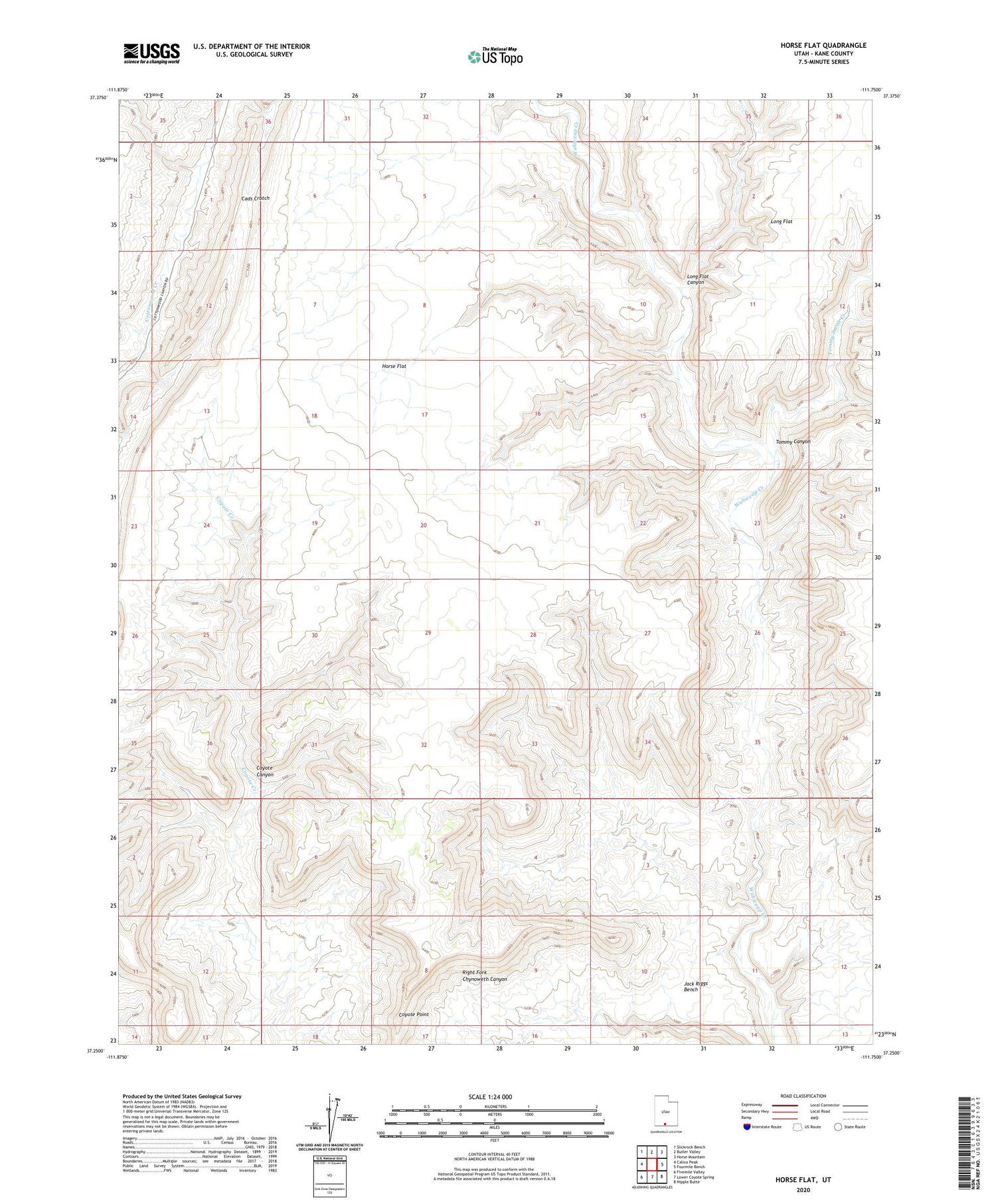
2023 topographic map quadrangle Horse Flat in the state of Utah. Scale: 1:24000. Based on the newly updated USGS 7.5' US Topo map series, this map is in the following counties: Kane. The map contains contour data, water features, and other items you are used to seeing on USGS maps, but also has updated roads and other features. This is the next generation of topographic maps. Printed on high-quality waterproof paper with UV fade-resistant inks.
Quads adjacent to this one:
West: Calico Peak
Northwest: Slickrock Bench
North: Butler Valley
Northeast: Horse Mountain
East: Fourmile Bench
Southeast: Nipple Butte
South: Lower Coyote Spring
Southwest: Fivemile Valley
This map covers the same area as the classic USGS quad with code o37111c7.
Contains the following named places: Cads Crotch, Coyote Canyon, Horse Flat, Long Flat Canyon, Tommy Canyon, Tommy Smith Creek


