MyTopo
The Cheesebox Utah US Topo Map
Couldn't load pickup availability
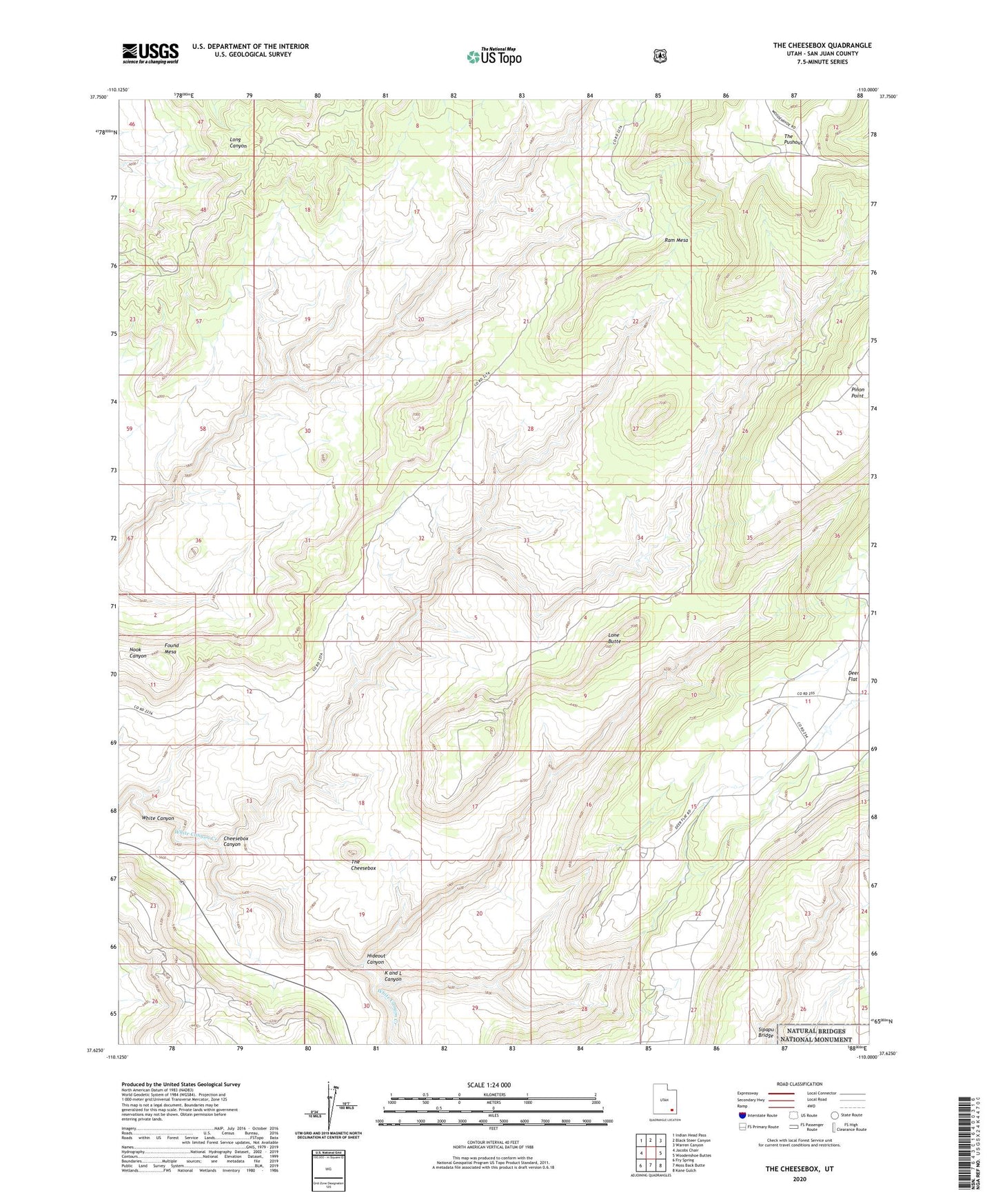
2023 topographic map quadrangle The Cheesebox in the state of Utah. Scale: 1:24000. Based on the newly updated USGS 7.5' US Topo map series, this map is in the following counties: San Juan. The map contains contour data, water features, and other items you are used to seeing on USGS maps, but also has updated roads and other features. This is the next generation of topographic maps. Printed on high-quality waterproof paper with UV fade-resistant inks.
Quads adjacent to this one:
West: Jacobs Chair
Northwest: Indian Head Pass
North: Black Steer Canyon
Northeast: Warren Canyon
East: Woodenshoe Buttes
Southeast: Kane Gulch
South: Moss Back Butte
Southwest: Fry Spring
This map covers the same area as the classic USGS quad with code o37110f1.
Contains the following named places: Cheesebox Canyon, Deer Flat, Found Mesa, Hideout Canyon, K and L Canyon, Lone Butte, Ram Mesa, The Cheesebox, The Pushout