MyTopo
Island Park Utah US Topo Map
Couldn't load pickup availability
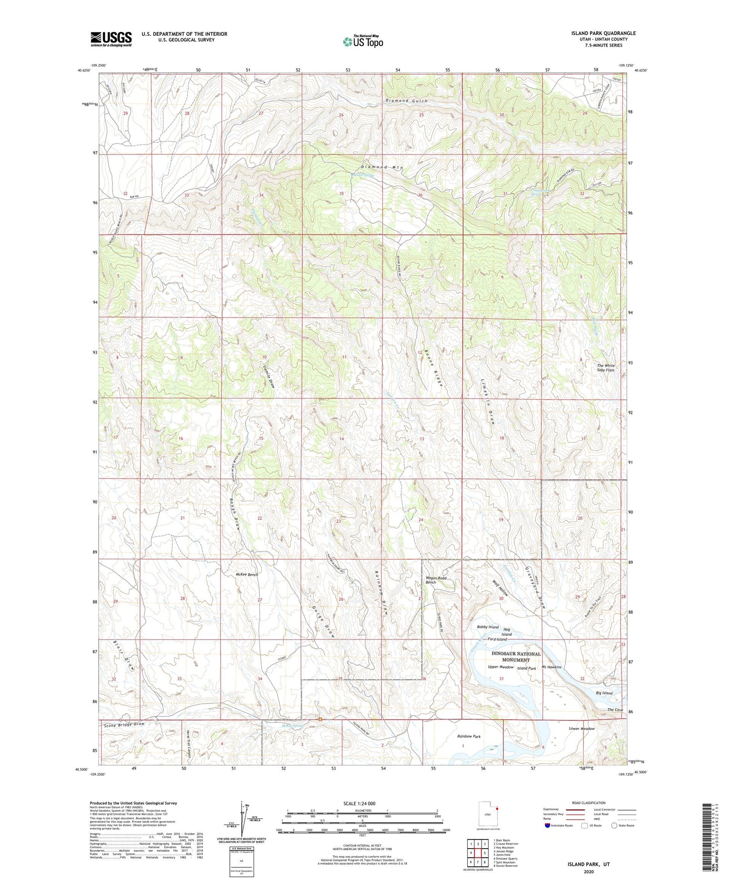
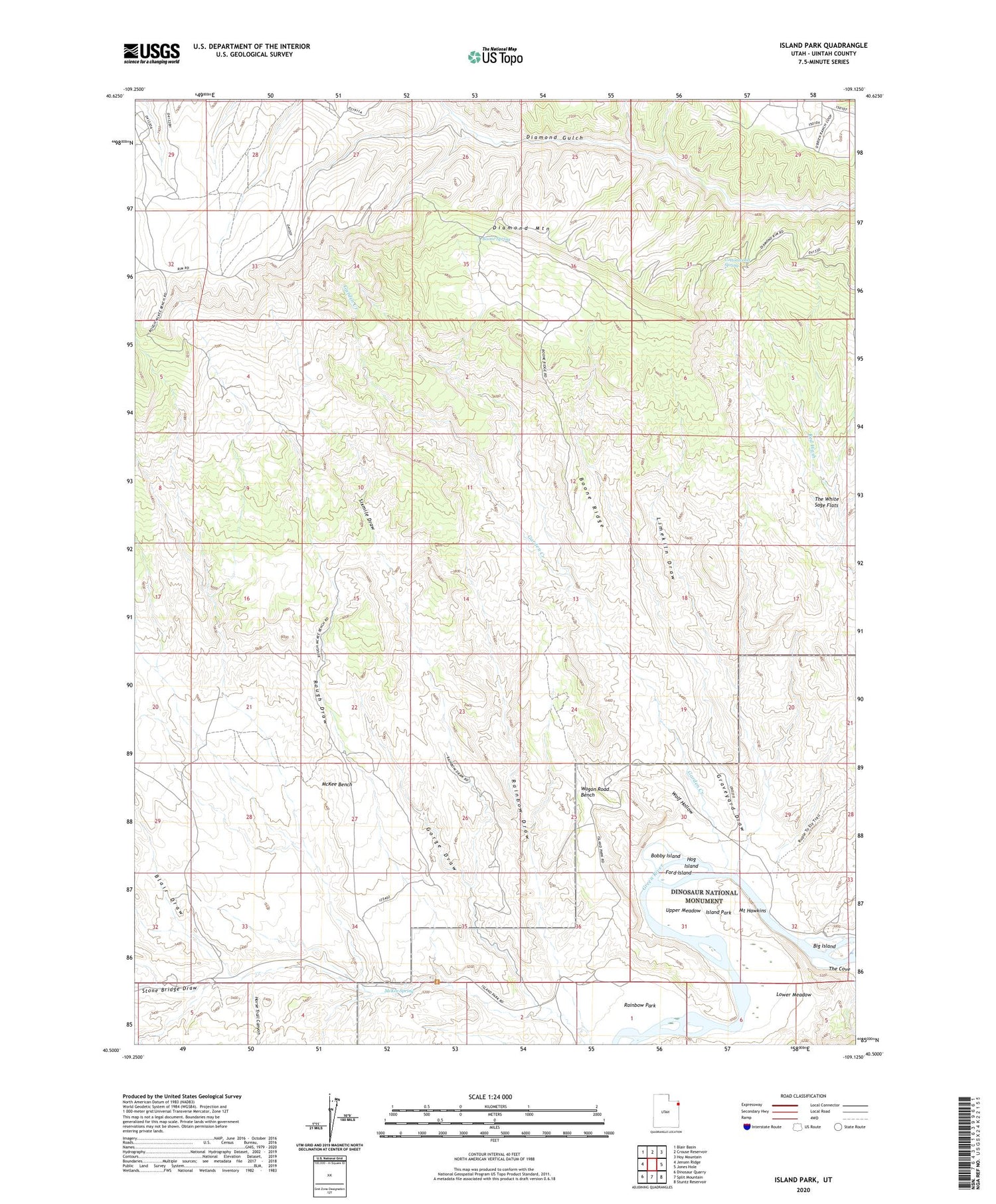
2020 topographic map quadrangle Island Park in the state of Utah. Scale: 1:24000. Based on the newly updated USGS 7.5' US Topo map series, this map is in the following counties: Uintah. The map contains contour data, water features, and other items you are used to seeing on USGS maps, but also has updated roads and other features. This is the next generation of topographic maps. Printed on high-quality waterproof paper with UV fade-resistant inks.
Quads adjacent to this one:
West: Jensen Ridge
Northwest: Blair Basin
North: Crouse Reservoir
Northeast: Hoy Mountain
East: Jones Hole
Southeast: Stuntz Reservoir
South: Split Mountain
Southwest: Dinosaur Quarry
Contains the following named places: Big Island, Blair Draw, Bobby Island, Boone Ridge, Boone Spring, Buck Island, Cottonwood Spring, Diamond Mountain, Ford Island, Garden Creek, Gorge Draw, Graveyard Draw, Hog Island, Horse Trail Canyon, Island Park, Island Park Boat Launch Area, Limekiln Draw, Lower Meadow, McKee Bench, McKee Spring, Mount Hawkins, Rainbow Draw, Rainbow Park, Rough Draw, Ruple Ranch, Sixmile Draw, Stone Bridge Draw, Tree Island, Upper Meadow, Wagon Road Bench, Wolf Hollow