MyTopo
Jensen Utah US Topo Map
Couldn't load pickup availability
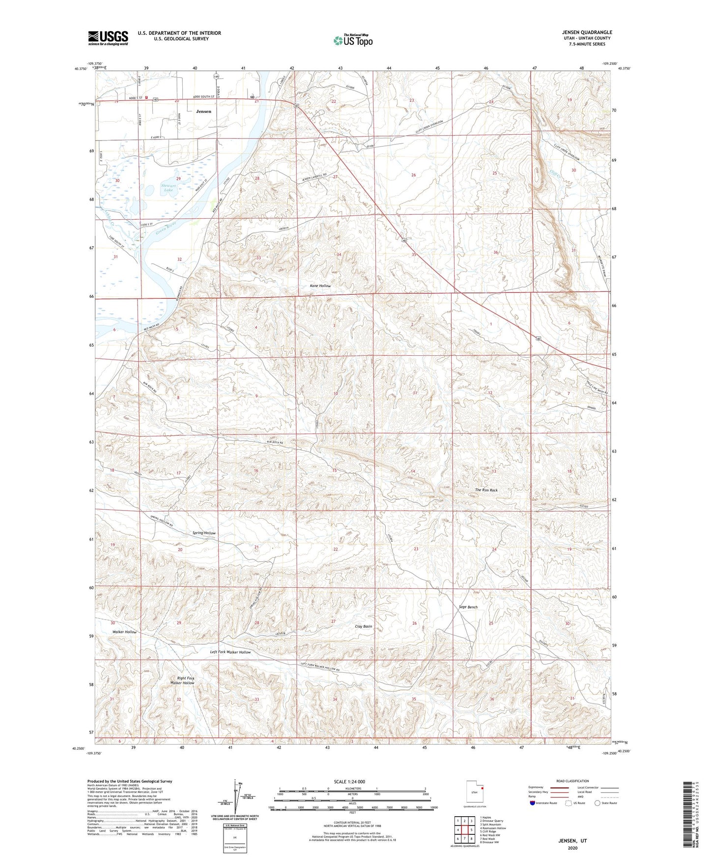
2023 topographic map quadrangle Jensen in the state of Utah. Scale: 1:24000. Based on the newly updated USGS 7.5' US Topo map series, this map is in the following counties: Uintah. The map contains contour data, water features, and other items you are used to seeing on USGS maps, but also has updated roads and other features. This is the next generation of topographic maps. Printed on high-quality waterproof paper with UV fade-resistant inks.
Quads adjacent to this one:
West: Rasmussen Hollow
Northwest: Naples
North: Dinosaur Quarry
Northeast: Split Mountain
East: Cliff Ridge
Southeast: Dinosaur NW
South: Red Wash
Southwest: Red Wash NW
This map covers the same area as the classic USGS quad with code o40109c3.
Contains the following named places: Ashley Creek, Clay Basin, Escalante Trail Historical Marker, Jensen, Jensen Census Designated Place, Jensen Post Office, Kane Hollow, Left Fork Walker Hollow, Right Fork Walker Hollow, Sage Bench, Stewart Lake, Stewart Lake Waterfowl Management Area, The Church of Jesus Christ of Latter Day Saints, Uintah Fire District Fire Station - Jensen