MyTopo
Jimmies Point Utah US Topo Map
Couldn't load pickup availability
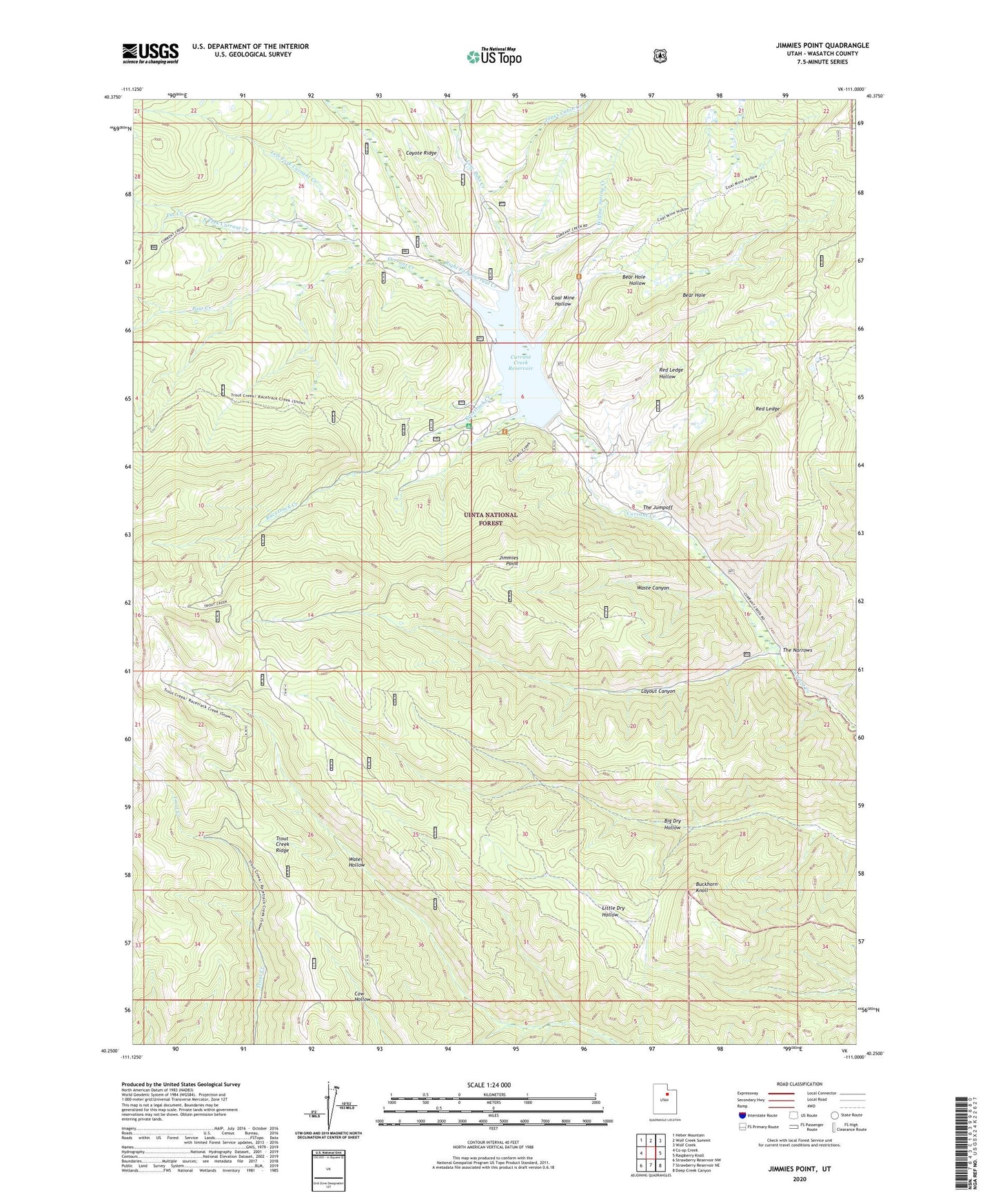
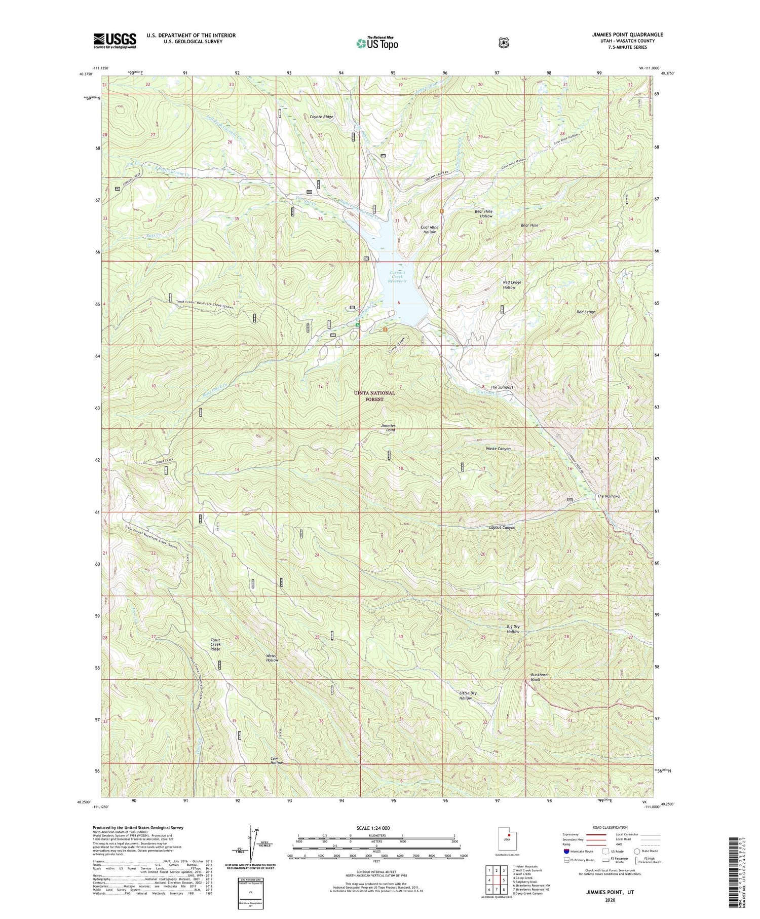
2020 topographic map quadrangle Jimmies Point in the state of Utah. Scale: 1:24000. Based on the newly updated USGS 7.5' US Topo map series, this map is in the following counties: Wasatch. The map contains contour data, water features, and other items you are used to seeing on USGS maps, but also has updated roads and other features. This is the next generation of topographic maps. Printed on high-quality waterproof paper with UV fade-resistant inks.
Quads adjacent to this one:
West: Co-op Creek
Northwest: Heber Mountain
North: Wolf Creek Summit
Northeast: Wolf Creek
East: Raspberry Knoll
Southeast: Deep Creek Canyon
South: Strawberry Reservoir NE
Southwest: Strawberry Reservoir NW
Contains the following named places: Bear Hole, Bear Hole Hollow, Buckhorn Knoll, Coal Mine Hollow, Cow Camp, Currant Creek Campground, Currant Creek Dam, Currant Creek Guard Station, Currant Creek Reservoir, Currant Tunnel, Hildas Basin Creek, Jimmies Point, Jones Cabin Creek, Layout Canyon, Layout Tunnel, Left Fork Currant Creek, Low Pass Creek, Pass Creek, Racetrack Creek, Red Ledge, Red Ledge Hollow, Right Fork Currant Creek, South Fork Currant Creek, The Jumpoff, The Narrows, Trout Creek Ridge, Tut Creek, Waste Canyon, Willow Spring Creek