MyTopo
Jump Creek Utah US Topo Map
Couldn't load pickup availability
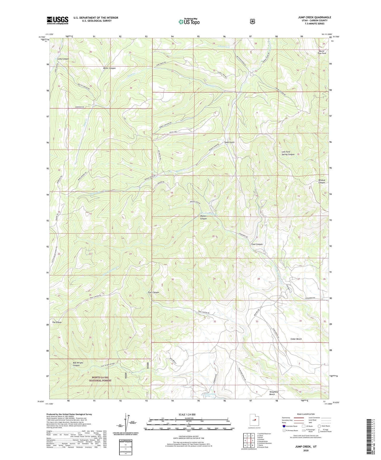
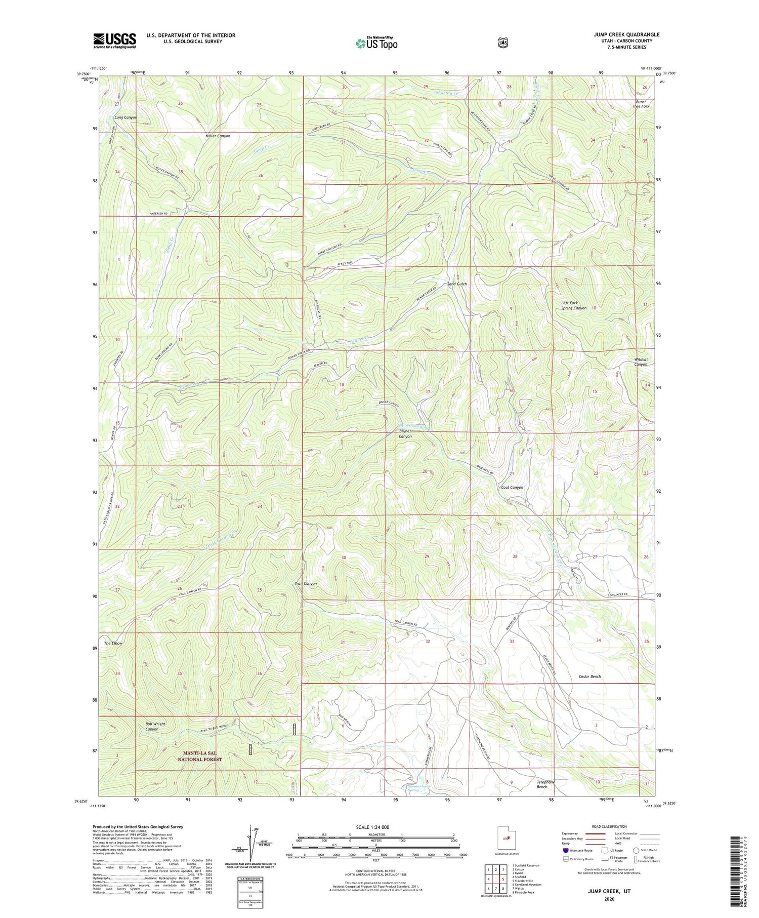
2020 topographic map quadrangle Jump Creek in the state of Utah. Scale: 1:24000. Based on the newly updated USGS 7.5' US Topo map series, this map is in the following counties: Carbon. The map contains contour data, water features, and other items you are used to seeing on USGS maps, but also has updated roads and other features. This is the next generation of topographic maps. Printed on high-quality waterproof paper with UV fade-resistant inks.
Quads adjacent to this one:
West: Scofield
Northwest: Scofield Reservoir
North: Colton
Northeast: Kyune
East: Standardville
Southeast: Pinnacle Peak
South: Wattis
Southwest: Candland Mountain
Contains the following named places: Bryner Canyon, Cedar Mesa Ranch, Coal Canyon, Coal City, Consumers, Gordon Creek Mine, Gordon Creek Wildlife Management Area, Johnston Creek, Jump Creek, Omans Ranch, Sand Gulch, Summerhouse Spring, Swisher Mine, Telephone Bench, The Elbow