MyTopo
Neola NW Utah US Topo Map
Couldn't load pickup availability
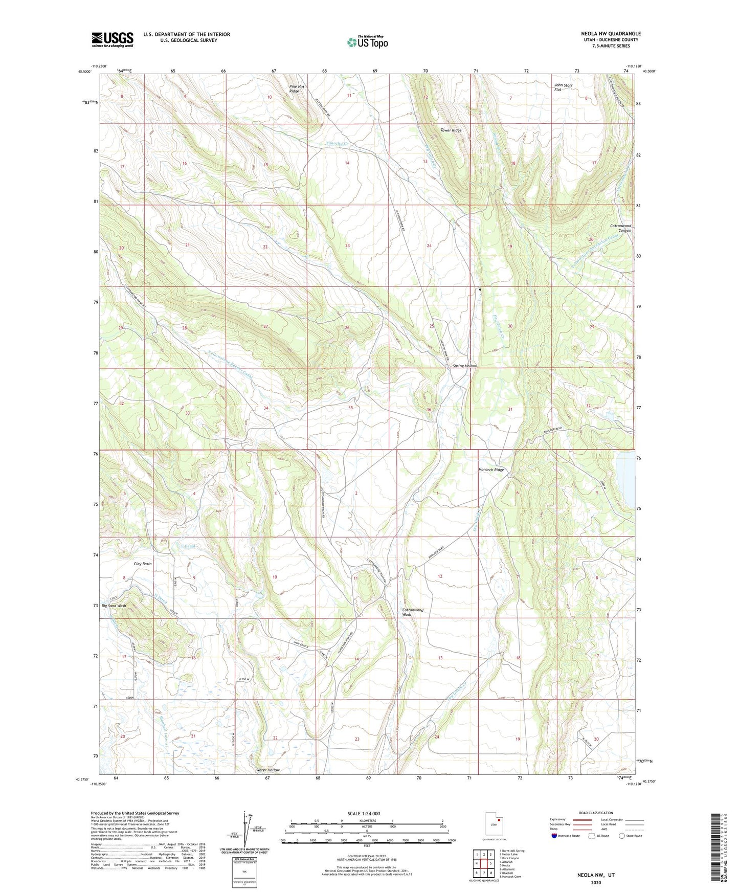
2023 topographic map quadrangle Neola NW in the state of Utah. Scale: 1:24000. Based on the newly updated USGS 7.5' US Topo map series, this map is in the following counties: Duchesne. The map contains contour data, water features, and other items you are used to seeing on USGS maps, but also has updated roads and other features. This is the next generation of topographic maps. Printed on high-quality waterproof paper with UV fade-resistant inks.
Quads adjacent to this one:
West: Altonah
Northwest: Burnt Mill Spring
North: Heller Lake
Northeast: Dark Canyon
East: Neola
Southeast: Hancock Cove
South: Bluebell
Southwest: Altamont
This map covers the same area as the classic USGS quad with code o40110d2.
Contains the following named places: Browns Draw Reservoir, Cedarview Dam, Clay Basin, Cottonwood Canyon, Cottonwood Wash, F Canal, KUUU-FM (Neola), Monarch Ridge, North Ditch, South Ditch, Spring Hollow, Timothy Creek, Uintah and Ouray Reservation, West Fork Dry Gulch Creek, Yellowstone Extension Canal, Yellowstone Feeder Canal