MyTopo
Pariette Draw SW Utah US Topo Map
Couldn't load pickup availability
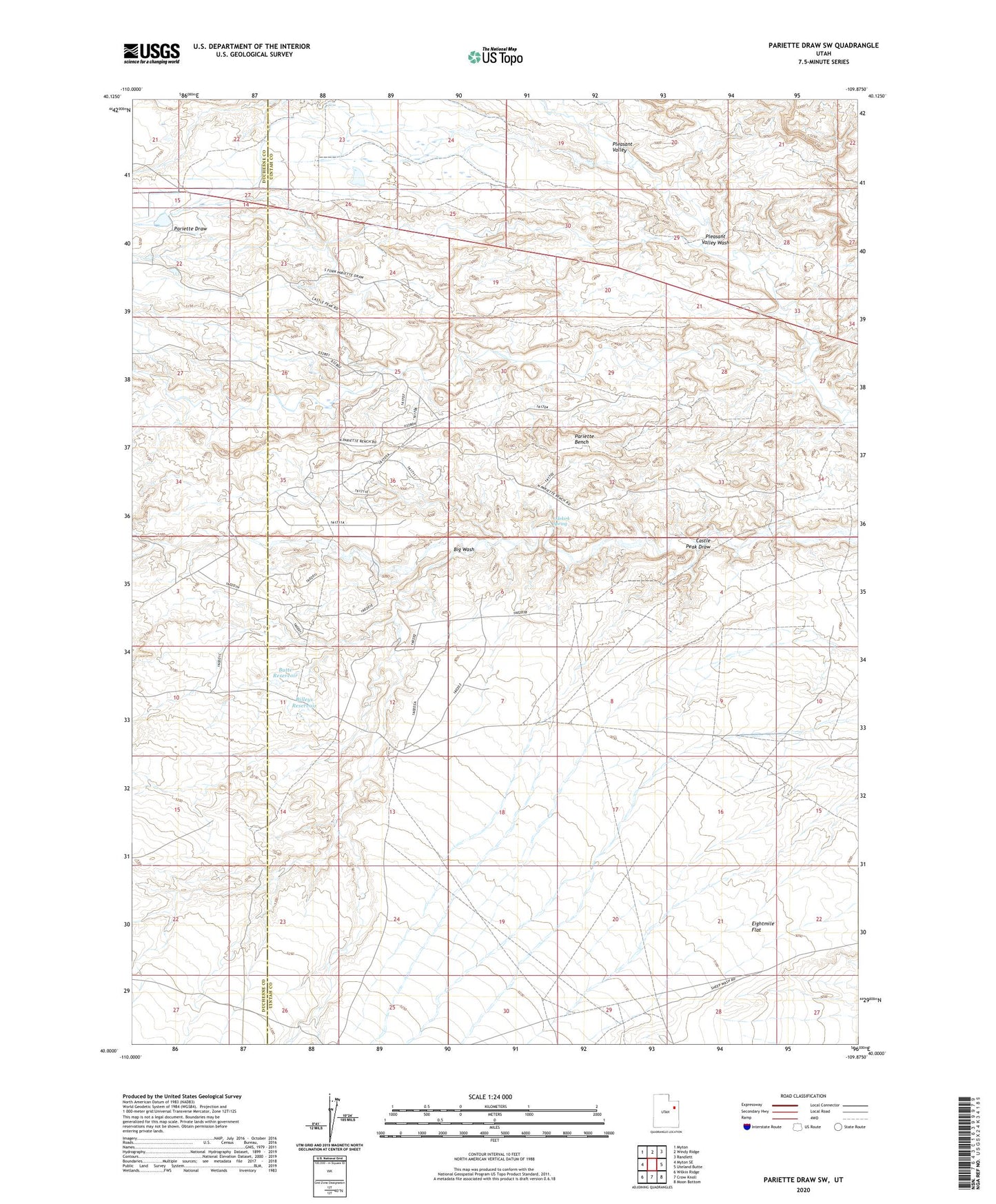
2020 topographic map quadrangle Pariette Draw SW in the state of Utah. Scale: 1:24000. Based on the newly updated USGS 7.5' US Topo map series, this map is in the following counties: Uintah, Duchesne. The map contains contour data, water features, and other items you are used to seeing on USGS maps, but also has updated roads and other features. This is the next generation of topographic maps. Printed on high-quality waterproof paper with UV fade-resistant inks.
Quads adjacent to this one:
West: Myton SE
Northwest: Myton
North: Windy Ridge
Northeast: Randlett
East: Uteland Butte
Southeast: Moon Bottom
South: Crow Knoll
Southwest: Wilkin Ridge
Contains the following named places: Big Wash, Billeys Reservoir, Butte Reservoir, Eightmile Flat, Odekirk Spring, Pariette Bench, Pleasant Valley, Pleasant Valley Wash