MyTopo
Randlett Utah US Topo Map
Couldn't load pickup availability
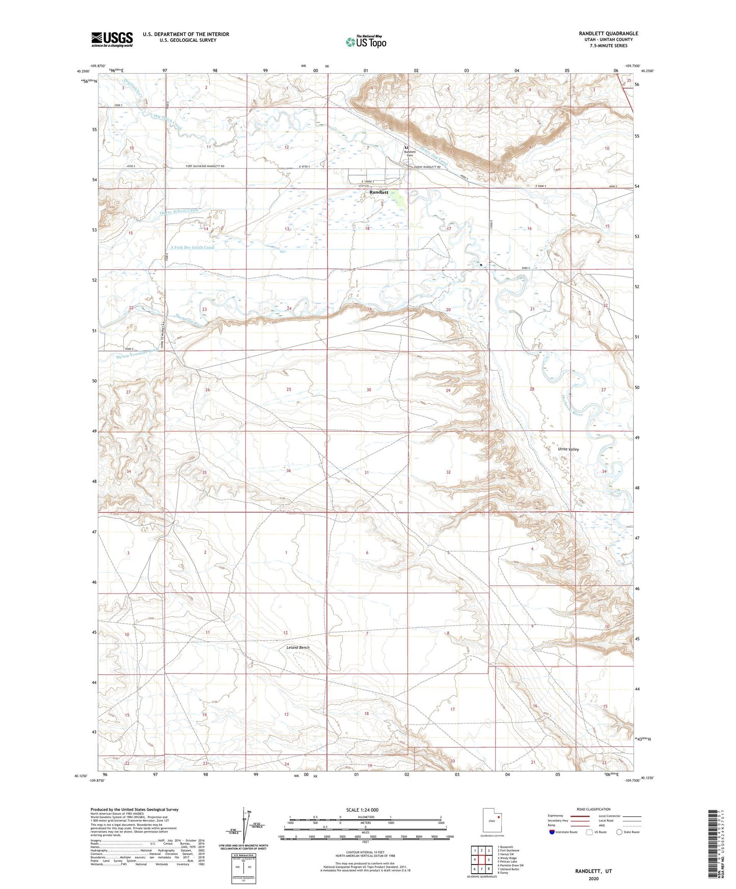
2023 topographic map quadrangle Randlett in the state of Utah. Scale: 1:24000. Based on the newly updated USGS 7.5' US Topo map series, this map is in the following counties: Uintah. The map contains contour data, water features, and other items you are used to seeing on USGS maps, but also has updated roads and other features. This is the next generation of topographic maps. Printed on high-quality waterproof paper with UV fade-resistant inks.
Quads adjacent to this one:
West: Windy Ridge
Northwest: Roosevelt
North: Fort Duchesne
Northeast: Vernal SW
East: Pelican Lake
Southeast: Ouray
South: Uteland Butte
Southwest: Pariette Draw SW
This map covers the same area as the classic USGS quad with code o40109b7.
Contains the following named places: Brush Corral, Dry Gulch Creek, Henry Jim Canal, Leland Bench, Ouray School Canal, Randlett, Randlett Cemetery, Randlett Census Designated Place, The Church of Jesus Christ of Latter Day Saints, Uinta River