MyTopo
Pine Point Utah US Topo Map
Couldn't load pickup availability
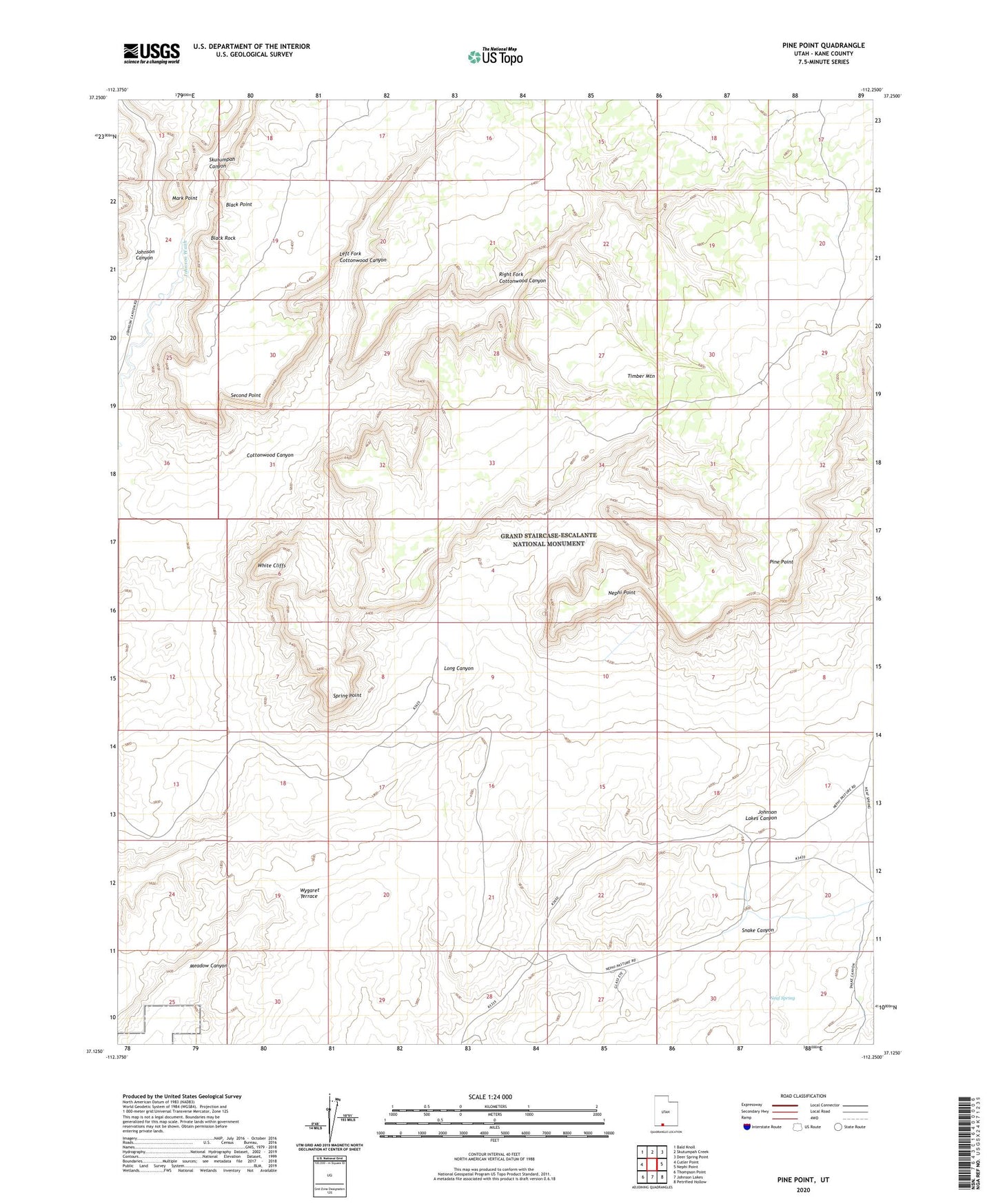
2023 topographic map quadrangle Pine Point in the state of Utah. Scale: 1:24000. Based on the newly updated USGS 7.5' US Topo map series, this map is in the following counties: Kane. The map contains contour data, water features, and other items you are used to seeing on USGS maps, but also has updated roads and other features. This is the next generation of topographic maps. Printed on high-quality waterproof paper with UV fade-resistant inks.
Quads adjacent to this one:
West: Cutler Point
Northwest: Bald Knoll
North: Skutumpah Creek
Northeast: Deer Spring Point
East: Nephi Point
Southeast: Petrified Hollow
South: Johnson Lakes
Southwest: Thompson Point
This map covers the same area as the classic USGS quad with code o37112b3.
Contains the following named places: Black Point, Black Rock, Left Fork Cottonwood Canyon, Mark Point, Montezuma Mine, Neaf Spring, Nephi Point, Pine Point, Right Fork Cottonwood Canyon, Second Point, Skutumpah Canyon, Snake Canyon, Spring Point, Timber Mountain