MyTopo
Pole Creek Utah US Topo Map
Couldn't load pickup availability
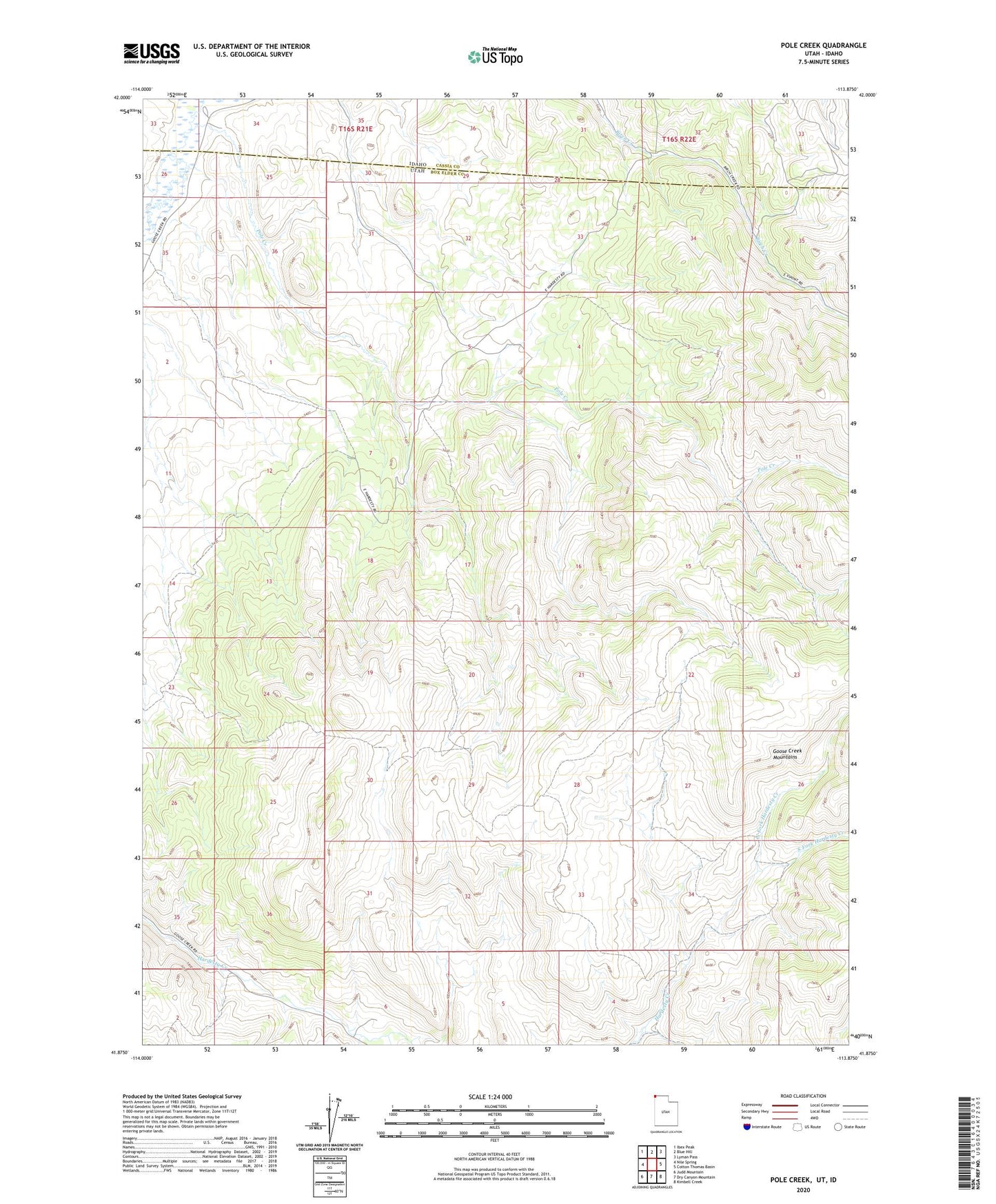
2023 topographic map quadrangle Pole Creek in the states of Idaho, Utah. Scale: 1:24000. Based on the newly updated USGS 7.5' US Topo map series, this map is in the following counties: Box Elder, Cassia. The map contains contour data, water features, and other items you are used to seeing on USGS maps, but also has updated roads and other features. This is the next generation of topographic maps. Printed on high-quality waterproof paper with UV fade-resistant inks.
Quads adjacent to this one:
West: Nile Spring
Northwest: Ibex Peak
North: Blue Hill
Northeast: Lyman Pass
East: Cotton Thomas Basin
Southeast: Kimbell Creek
South: Dry Canyon Mountain
Southwest: Judd Mountain
This map covers the same area as the classic USGS quad with code o41113h8.
Contains the following named places: North Fork Hardesty Creek, Peg Leg Mine, Pole Creek, South Fork Hardesty Creek