MyTopo
Richmond Utah US Topo Map
Couldn't load pickup availability
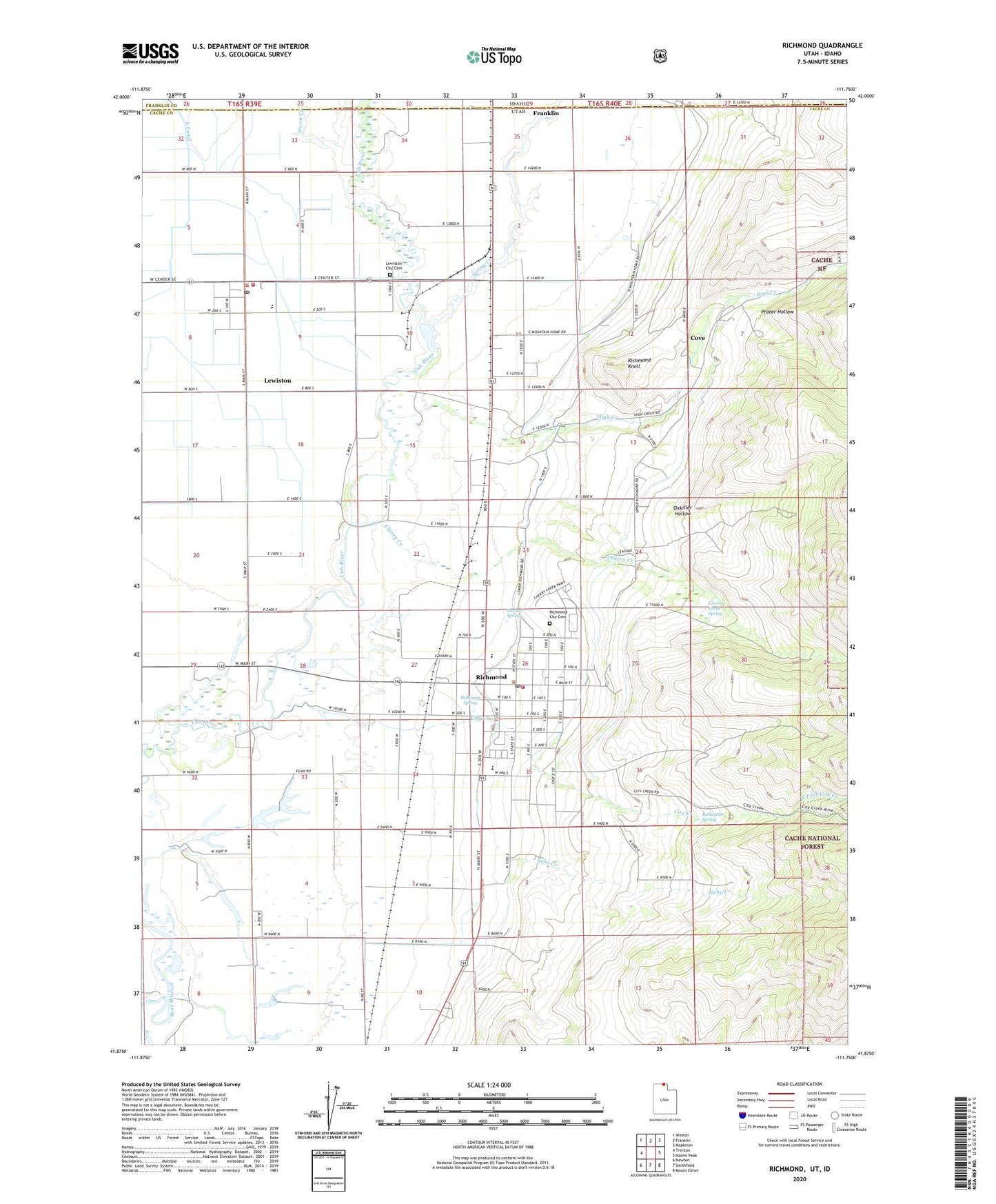
2020 topographic map quadrangle Richmond in the states of Utah, Idaho. Scale: 1:24000. Based on the newly updated USGS 7.5' US Topo map series, this map is in the following counties: Cache, Franklin. The map contains contour data, water features, and other items you are used to seeing on USGS maps, but also has updated roads and other features. This is the next generation of topographic maps. Printed on high-quality waterproof paper with UV fade-resistant inks.
Quads adjacent to this one:
West: Trenton
Northwest: Weston
North: Franklin
Northeast: Mapleton
East: Naomi Peak
Southeast: Mount Elmer
South: Smithfield
Southwest: Newton
Contains the following named places: Ballantine Spring, Cherry Creek, Cherry Creek Ditch, Cherry Creek Spring, City Creek, City of Richmond, Cove, Cove Census Designated Place, East Pump Canal, High Creek, Lewiston, Lewiston City Cemetery, Lewiston City Fire Department, Lewiston Elementary School, Lewiston Post Office, Lower High Creek Canal, Morrison Dam, Nebo Creek, North Cache Middle School, North Cache Spring, North Fork City Creek, Oxkiller Hollow, Park Elementary School, Prater Hollow, Richmond, Richmond City Cemetery, Richmond Fire Department, Richmond Knoll, Richmond Post Office, Robinson Spring, Rocky Ridge Reservoir, Spring Creek, Stewart Spring, The Church of Jesus Christ of Latter Day Saints, Upper High Creek Canal, Webster, Worm Creek, ZIP Codes: 84320, 84333