MyTopo
Sagers Flat Utah US Topo Map
Couldn't load pickup availability
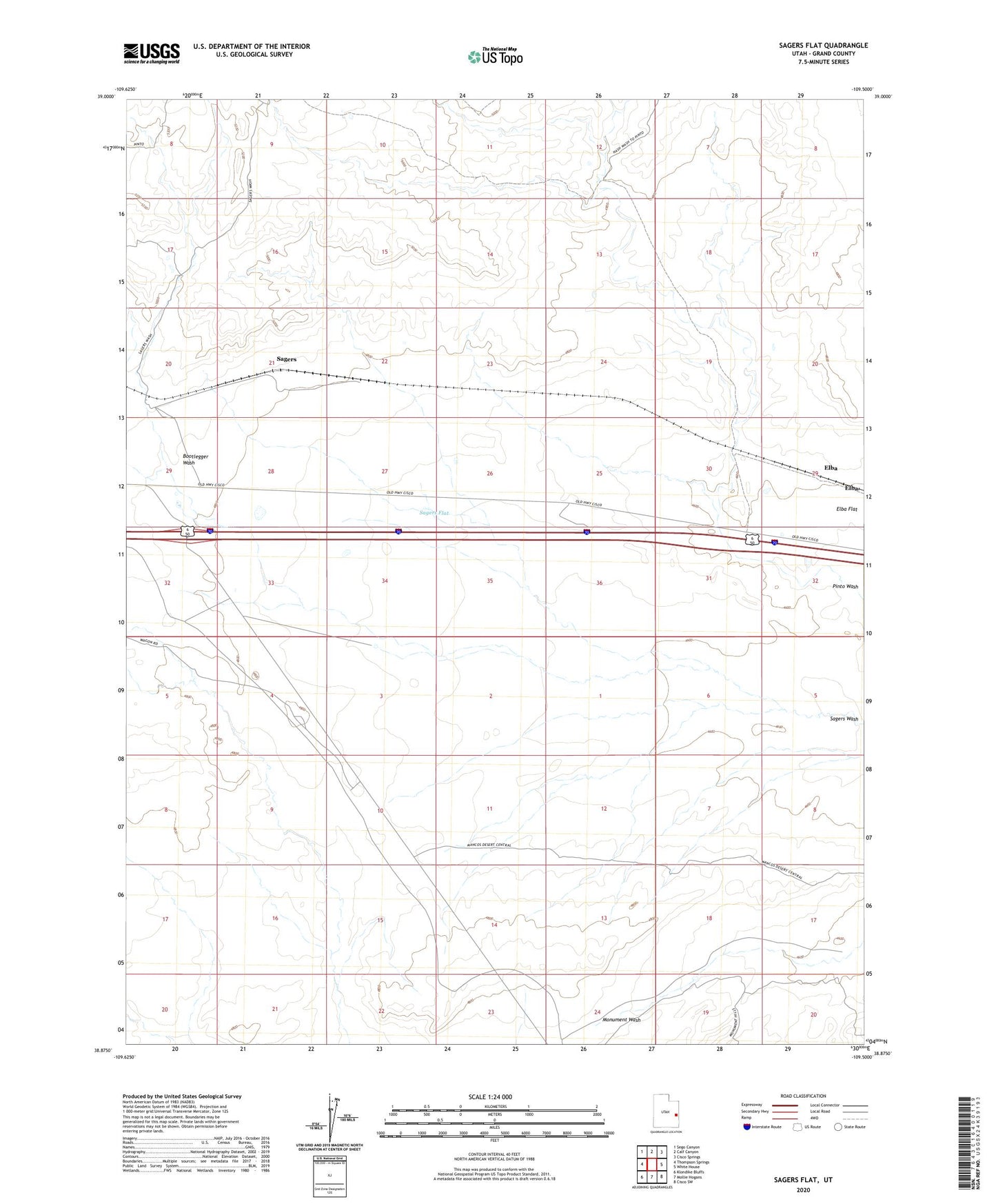
2023 topographic map quadrangle Sagers Flat in the state of Utah. Scale: 1:24000. Based on the newly updated USGS 7.5' US Topo map series, this map is in the following counties: Grand. The map contains contour data, water features, and other items you are used to seeing on USGS maps, but also has updated roads and other features. This is the next generation of topographic maps. Printed on high-quality waterproof paper with UV fade-resistant inks.
Quads adjacent to this one:
West: Thompson Springs
Northwest: Sego Canyon
North: Calf Canyon
Northeast: Cisco Springs
East: White House
Southeast: Cisco SW
South: Mollie Hogans
Southwest: Klondike Bluffs
This map covers the same area as the classic USGS quad with code o38109h5.
Contains the following named places: Bootlegger Wash, Elba, Elba Flat, Grand County, Sagers, Sagers Flat