MyTopo
San Rafael Knob Utah US Topo Map
Couldn't load pickup availability
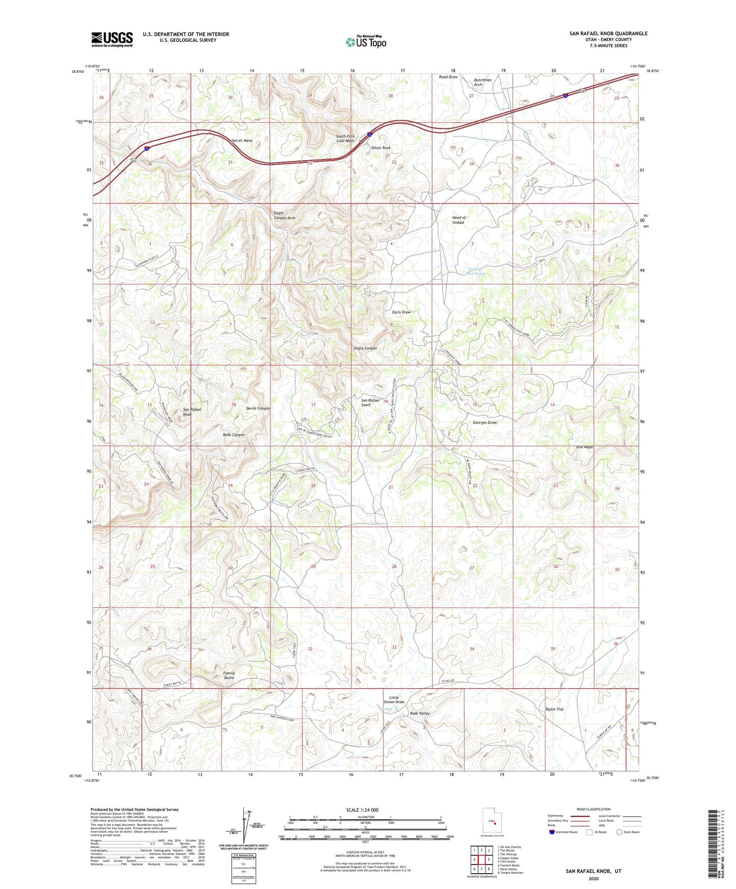
2023 topographic map quadrangle San Rafael Knob in the state of Utah. Scale: 1:24000. Based on the newly updated USGS 7.5' US Topo map series, this map is in the following counties: Emery. The map contains contour data, water features, and other items you are used to seeing on USGS maps, but also has updated roads and other features. This is the next generation of topographic maps. Printed on high-quality waterproof paper with UV fade-resistant inks.
Quads adjacent to this one:
West: Copper Globe
Northwest: Sid And Charley
North: The Blocks
Northeast: The Wickiup
East: Twin Knolls
Southeast: Temple Mountain
South: Horse Valley
Southwest: Tomsich Butte
This map covers the same area as the classic USGS quad with code o38110g7.
Contains the following named places: Dutchman Arch, Eagle Canyon Arch, Family Butte, Forked Post Pond, Ghost Rock, Head of Sinbad, Rods Valley, San Rafael Knob, Secret Mesa, Swasey Cabin, Tan Seep, Taylor Flat