MyTopo
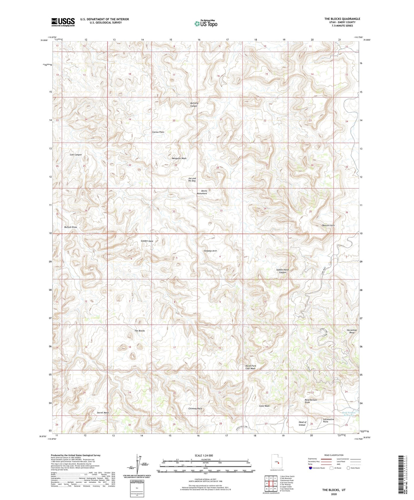
The Blocks Utah US Topo Map
Couldn't load pickup availability
2023 topographic map quadrangle The Blocks in the state of Utah. Scale: 1:24000. Based on the newly updated USGS 7.5' US Topo map series, this map is in the following counties: Emery. The map contains contour data, water features, and other items you are used to seeing on USGS maps, but also has updated roads and other features. This is the next generation of topographic maps. Printed on high-quality waterproof paper with UV fade-resistant inks.
Quads adjacent to this one:
West: Sid And Charley
Northwest: Horn Silver Gulch
North: Sids Mountain
Northeast: Bottleneck Peak
East: The Wickiup
Southeast: Twin Knolls
South: San Rafael Knob
Southwest: Copper Globe
This map covers the same area as the classic USGS quad with code o38110h7.
Contains the following named places: Bullock Draw, Cactus Flats, Chimney Rock, Cow Canyon, Devils Monument, Golden Gate, Joe and His Dog, Locomotive Point, Obscure Arch, Reid Neilson Reservoir, Sinbad Valley, Swaseys Arch, The Blocks