MyTopo
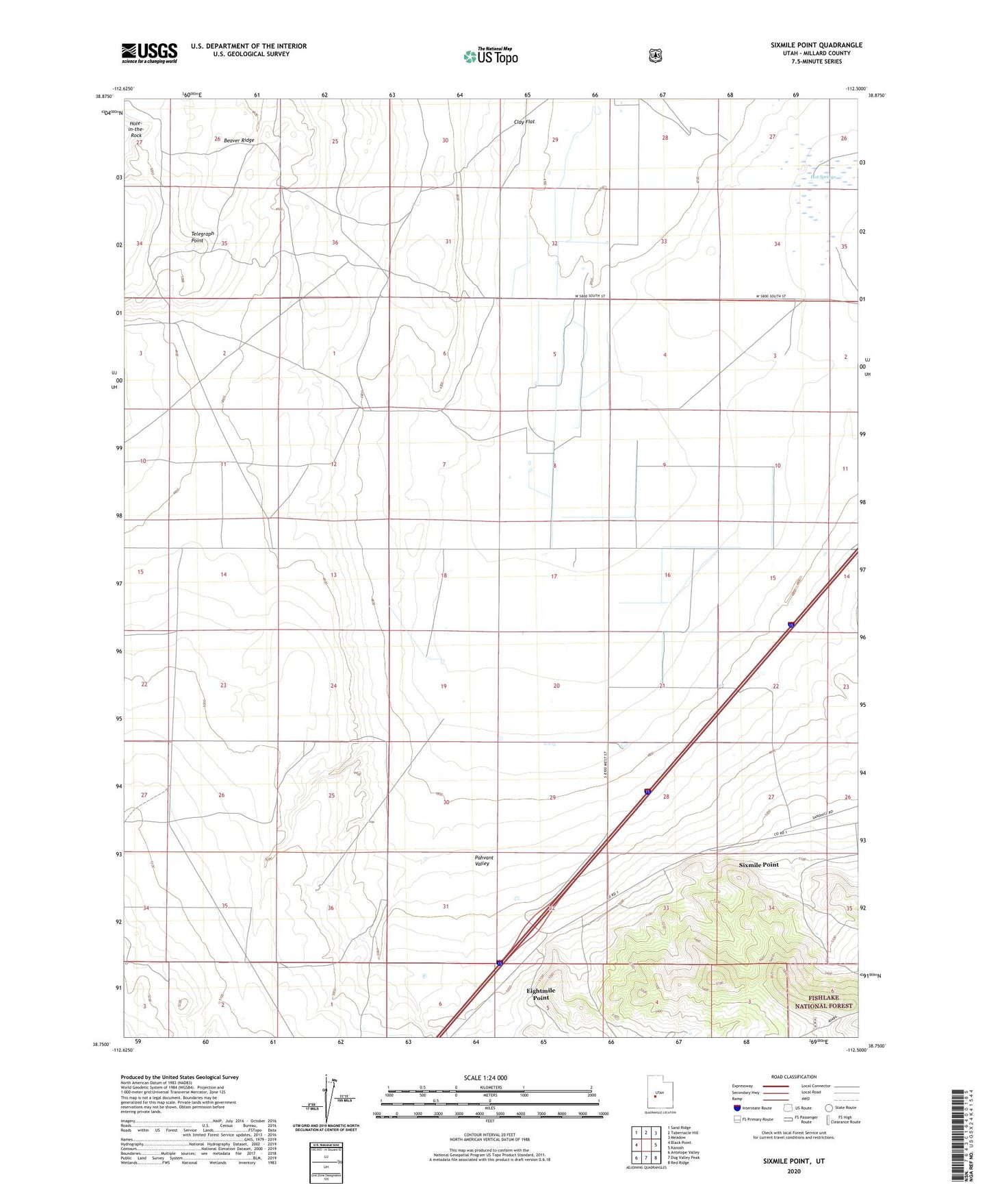
Sixmile Point Utah US Topo Map
Couldn't load pickup availability
Also explore the Sixmile Point Forest Service Topo of this same quad for updated USFS data
2023 topographic map quadrangle Sixmile Point in the state of Utah. Scale: 1:24000. Based on the newly updated USGS 7.5' US Topo map series, this map is in the following counties: Millard. The map contains contour data, water features, and other items you are used to seeing on USGS maps, but also has updated roads and other features. This is the next generation of topographic maps. Printed on high-quality waterproof paper with UV fade-resistant inks.
Quads adjacent to this one:
West: Black Point
Northwest: Sand Ridge
North: Tabernacle Hill
Northeast: Meadow
East: Kanosh
Southeast: Red Ridge
South: Dog Valley Peak
Southwest: Antelope Valley
This map covers the same area as the classic USGS quad with code o38112g5.
Contains the following named places: Dry Wash, Eightmile Point, Hole-in-the-Rock, Hot Springs, Sixmile Point, Telegraph Point