MyTopo
Snow Flat Spring Cave Utah US Topo Map
Couldn't load pickup availability
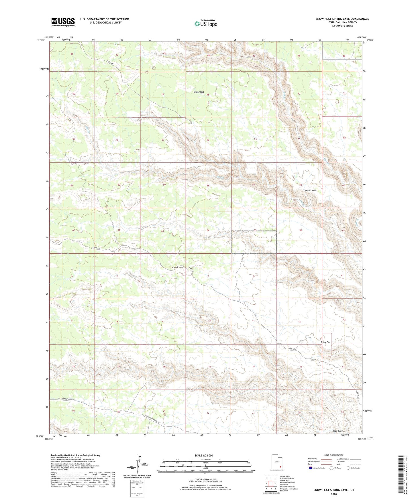
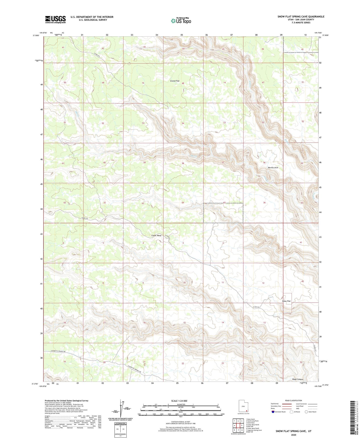
2020 topographic map quadrangle Snow Flat Spring Cave in the state of Utah. Scale: 1:24000. Based on the newly updated USGS 7.5' US Topo map series, this map is in the following counties: San Juan. The map contains contour data, water features, and other items you are used to seeing on USGS maps, but also has updated roads and other features. This is the next generation of topographic maps. Printed on high-quality waterproof paper with UV fade-resistant inks.
Quads adjacent to this one:
West: Cedar Mesa North
Northwest: Kane Gulch
North: South Long Point
Northeast: Hotel Rock
East: Bluff NW
Southeast: Bluff SW
South: Cigarette Spring Cave
Southwest: Cedar Mesa South
Contains the following named places: Emigrant Trail, Nevills Arch, Prehistoric Cave Spring Number Two, Snow Flat