MyTopo
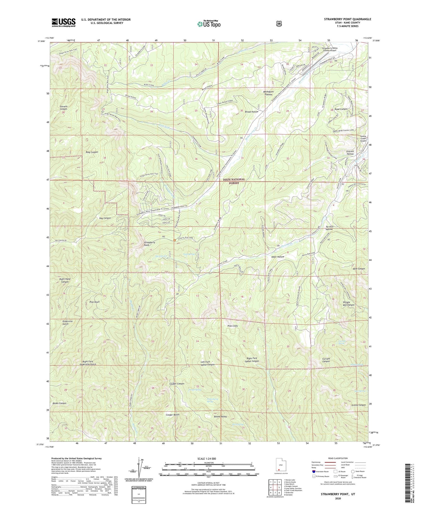
Strawberry Point Utah US Topo Map
Couldn't load pickup availability
Also explore the Strawberry Point Forest Service Topo of this same quad for updated USFS data
2023 topographic map quadrangle Strawberry Point in the state of Utah. Scale: 1:24000. Based on the newly updated USGS 7.5' US Topo map series, this map is in the following counties: Kane. The map contains contour data, water features, and other items you are used to seeing on USGS maps, but also has updated roads and other features. This is the next generation of topographic maps. Printed on high-quality waterproof paper with UV fade-resistant inks.
Quads adjacent to this one:
West: Straight Canyon
Northwest: Navajo Lake
North: Henrie Knolls
Northeast: Asay Bench
East: Long Valley Junction
Southeast: Glendale
South: Orderville
Southwest: Clear Creek Mountain
This map covers the same area as the classic USGS quad with code o37112d6.
Contains the following named places: Adair Hollow, Birch Spring, Broad Hollow, Chokecherry Spring, Cougar Bench, Currant Spring, Deer Spring, Everett Hollow, Hidden Spring, Lars Fork, Pine Knoll, Round Valley, Strawberry Point, Strawberry Point View Area, Strawberry Valley Estates Airport, Tar Kiln Hollow, Trough Spring, Twin Springs, Willis Creek, ZIP Code: 84762