MyTopo
Henrie Knolls Utah US Topo Map
Couldn't load pickup availability
Also explore the Henrie Knolls Forest Service Topo of this same quad for updated USFS data
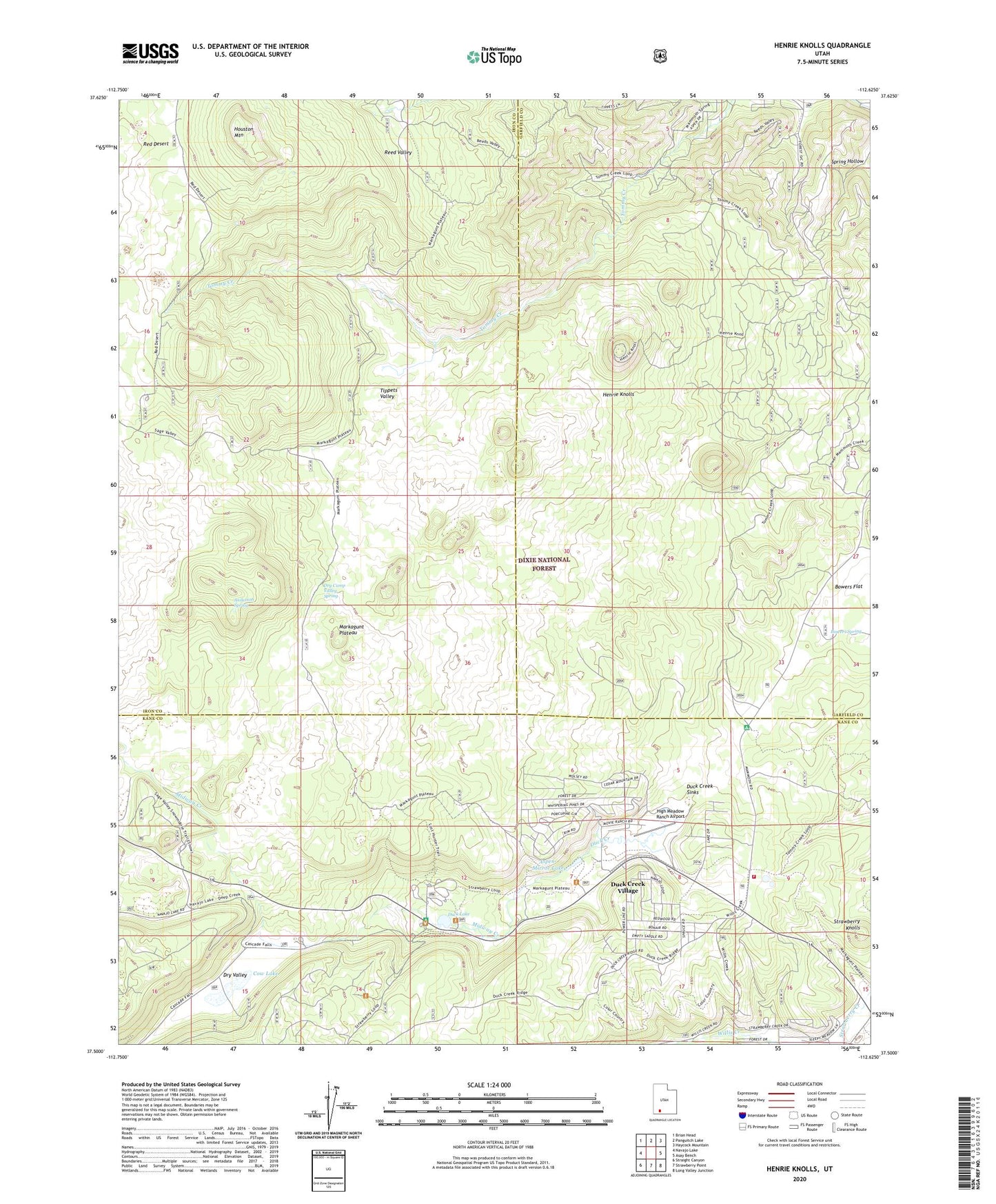
2023 topographic map quadrangle Henrie Knolls in the state of Utah. Scale: 1:24000. Based on the newly updated USGS 7.5' US Topo map series, this map is in the following counties: Iron, Kane, Garfield. The map contains contour data, water features, and other items you are used to seeing on USGS maps, but also has updated roads and other features. This is the next generation of topographic maps. Printed on high-quality waterproof paper with UV fade-resistant inks.
Quads adjacent to this one:
West: Navajo Lake
Northwest: Brian Head
North: Panguitch Lake
Northeast: Haycock Mountain
East: Asay Bench
Southeast: Long Valley Junction
South: Strawberry Point
Southwest: Straight Canyon
This map covers the same area as the classic USGS quad with code o37112e6.
Contains the following named places: Anderson Spring, Aspen-Mirror Lake, Bowers Flat, Bowers Spring, Cedar Mountain Fire Protection District Station 1, Cow Lake, Dry Camp Valley Spring, Dry Valley, Duck Creek, Duck Creek Campground, Duck Creek Forest Service Station, Duck Creek Sinks, Duck Creek Village, Duck Creek Village Campground, Duck Creek Work Center, Duck Lake, Henrie Knolls, High Meadow Ranch Airport, Houston Mountain, Markagunt Plateau, Midway Creek, Red Desert, Reed Valley, Strawberry Knolls, Tippets Valley