MyTopo
Sunnyside Junction Utah US Topo Map
Couldn't load pickup availability
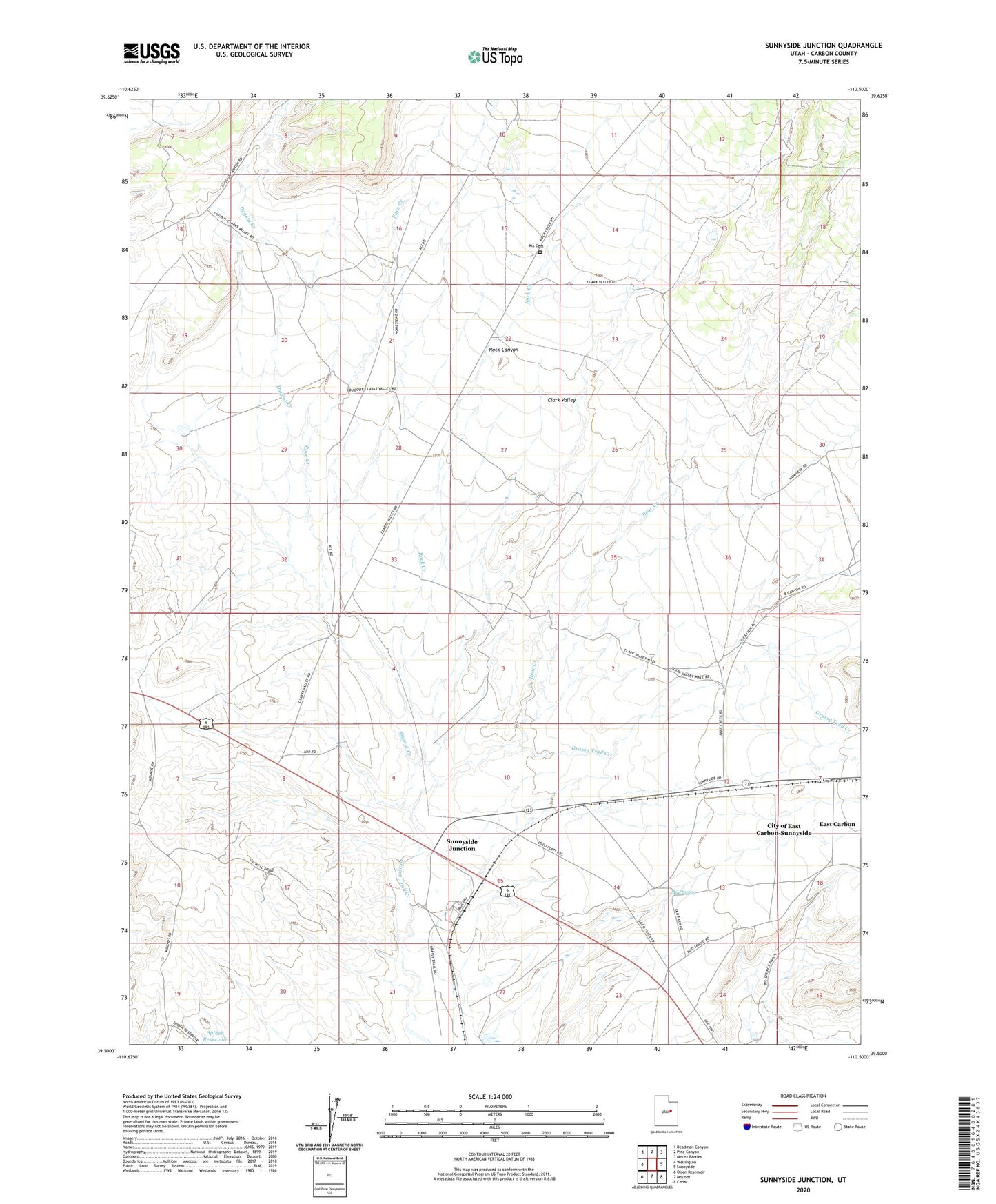
2023 topographic map quadrangle Sunnyside Junction in the state of Utah. Scale: 1:24000. Based on the newly updated USGS 7.5' US Topo map series, this map is in the following counties: Carbon. The map contains contour data, water features, and other items you are used to seeing on USGS maps, but also has updated roads and other features. This is the next generation of topographic maps. Printed on high-quality waterproof paper with UV fade-resistant inks.
Quads adjacent to this one:
West: Wellington
Northwest: Deadman Canyon
North: Pine Canyon
Northeast: Mount Bartles
East: Sunnyside
Southeast: Cedar
South: Mounds
Southwest: Olsen Reservoir
This map covers the same area as the classic USGS quad with code o39110e5.
Contains the following named places: Bear Creek, Big Spring Ranch, Clark Valley, Dugout Creek, Kiz Cemetery, Mud Spring, Pace Creek, Rock Canyon, Rock Creek, South Reservoir, South Reservoir Dam, Sunnyside Junction