MyTopo
Tenmile Canyon South Utah US Topo Map
Couldn't load pickup availability
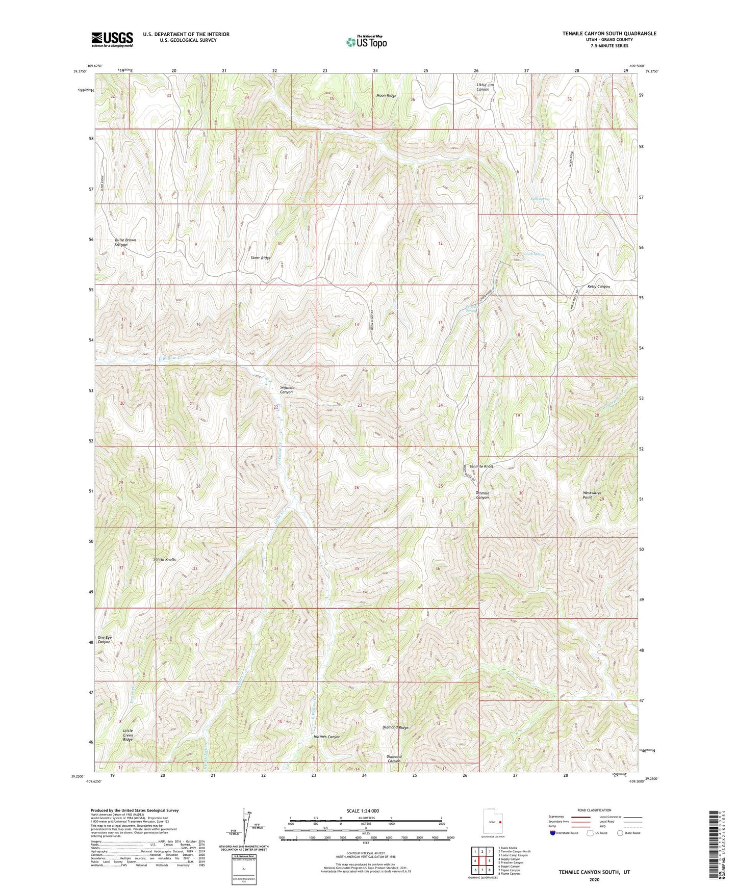
2023 topographic map quadrangle Tenmile Canyon South in the state of Utah. Scale: 1:24000. Based on the newly updated USGS 7.5' US Topo map series, this map is in the following counties: Grand. The map contains contour data, water features, and other items you are used to seeing on USGS maps, but also has updated roads and other features. This is the next generation of topographic maps. Printed on high-quality waterproof paper with UV fade-resistant inks.
Quads adjacent to this one:
West: Supply Canyon
Northwest: Black Knolls
North: Tenmile Canyon North
Northeast: Cedar Camp Canyon
East: Preacher Canyon
Southeast: Flume Canyon
South: Tepee Canyon
Southwest: Bogart Canyon
This map covers the same area as the classic USGS quad with code o39109c5.
Contains the following named places: Clark Spring, Diamond Ridge, Dry Fork, East Fork Little Creek, Harmes Canyon, Kelly Spring, Little Creek, Little Creek Ridge, Peterson Spring, Santio Knolls, Segundo Canyon, Steer Ridge, Tenmile Knoll