MyTopo
Tepee Canyon Utah US Topo Map
Couldn't load pickup availability
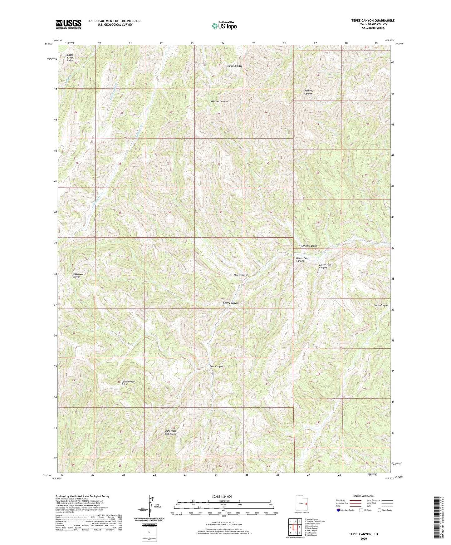
2023 topographic map quadrangle Tepee Canyon in the state of Utah. Scale: 1:24000. Based on the newly updated USGS 7.5' US Topo map series, this map is in the following counties: Grand. The map contains contour data, water features, and other items you are used to seeing on USGS maps, but also has updated roads and other features. This is the next generation of topographic maps. Printed on high-quality waterproof paper with UV fade-resistant inks.
Quads adjacent to this one:
West: Bogart Canyon
Northwest: Supply Canyon
North: Tenmile Canyon South
Northeast: Preacher Canyon
East: Flume Canyon
Southeast: Cisco Springs
South: Calf Canyon
Southwest: Sego Canyon
This map covers the same area as the classic USGS quad with code o39109b5.
Contains the following named places: Bear Canyon, Cherry Canyon, Cottonwood Point, Lower Twin Canyon, Spruce Canyon, Tepee Canyon, Upper Twin Canyon