MyTopo
Walsh Knolls Utah US Topo Map
Couldn't load pickup availability
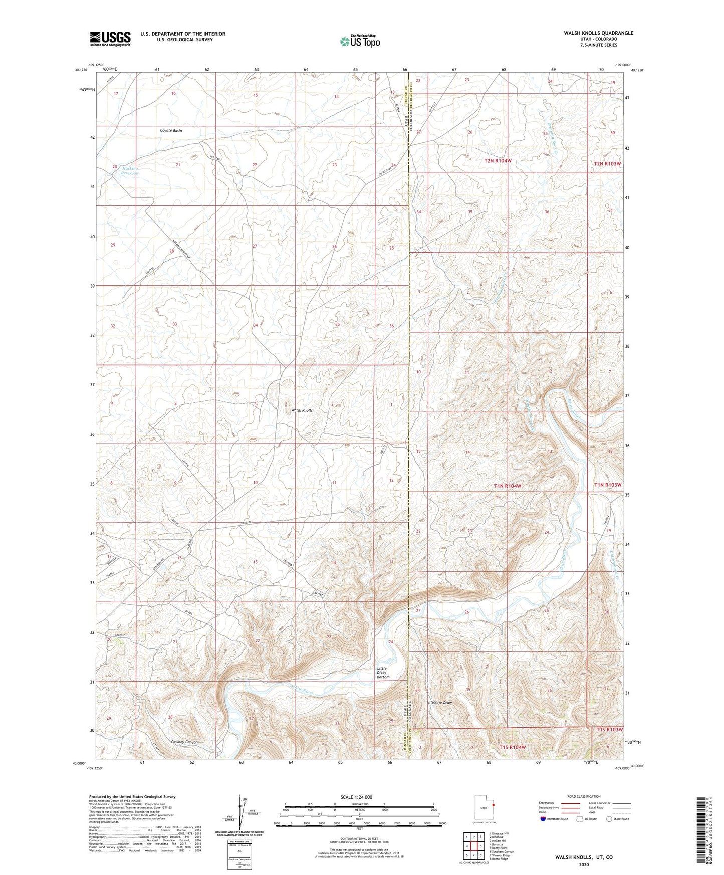
2023 topographic map quadrangle Walsh Knolls in the states of Utah, Colorado. Scale: 1:24000. Based on the newly updated USGS 7.5' US Topo map series, this map is in the following counties: Uintah, Rio Blanco. The map contains contour data, water features, and other items you are used to seeing on USGS maps, but also has updated roads and other features. This is the next generation of topographic maps. Printed on high-quality waterproof paper with UV fade-resistant inks.
Quads adjacent to this one:
West: Bonanza
Northwest: Dinosaur NW
North: Dinosaur
Northeast: Mellen Hill
East: Banty Point
Southeast: Banta Ridge
South: Weaver Ridge
Southwest: Southam Canyon
This map covers the same area as the classic USGS quad with code o40109a1.
Contains the following named places: Cottonwood Creek, Cowboy Canyon, Dripping Rock Creek, Gilsonite Draw, Hacking Reservoir, Iron Bridge Mine, Little Dicks Bottom, Walsh Knolls