
MyTopo
Banty Point Colorado US Topo Map
Couldn't load pickup availability
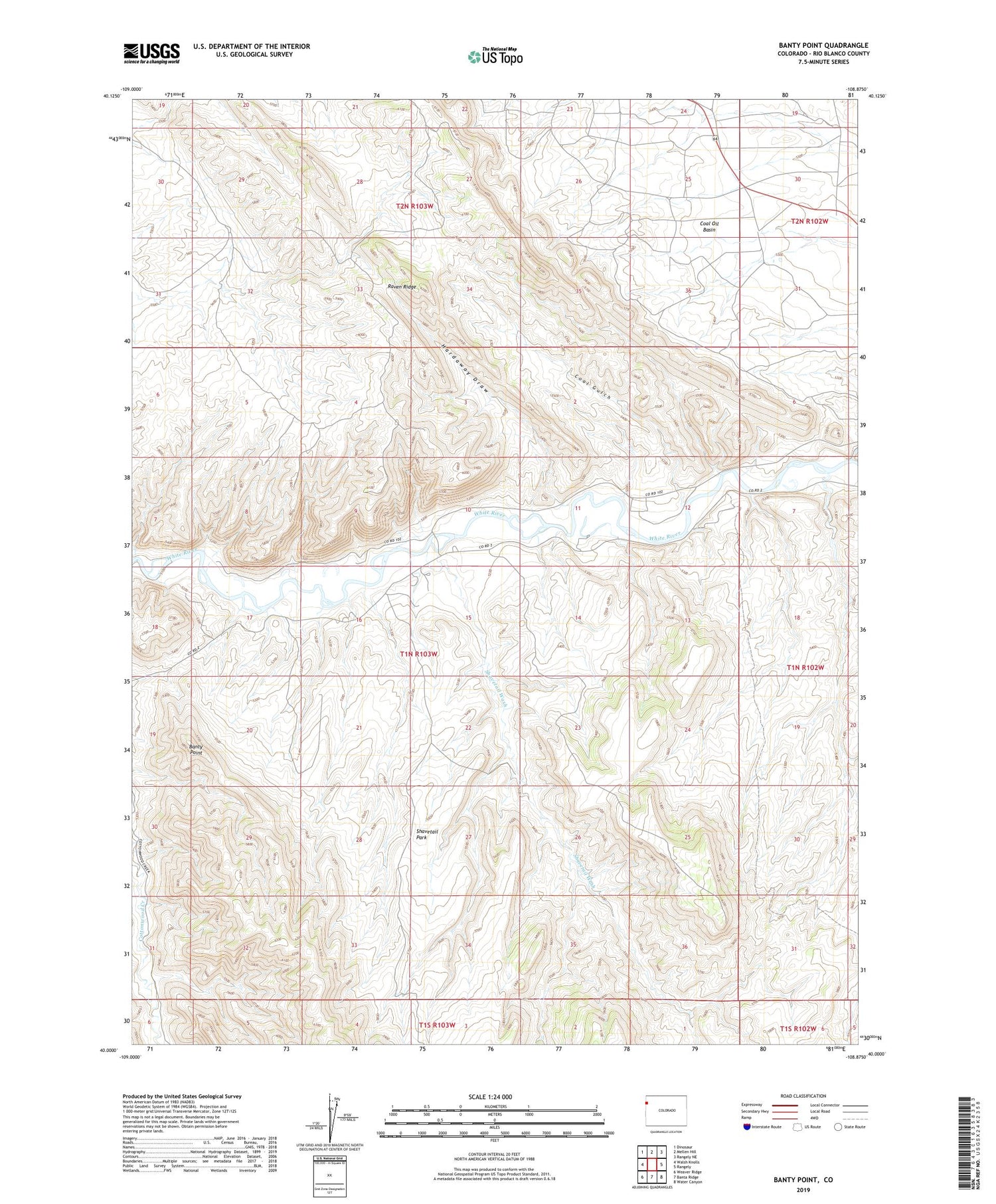
2022 topographic map quadrangle Banty Point in the state of Colorado. Scale: 1:24000. Based on the newly updated USGS 7.5' US Topo map series, this map is in the following counties: Rio Blanco. The map contains contour data, water features, and other items you are used to seeing on USGS maps, but also has updated roads and other features. This is the next generation of topographic maps. Printed on high-quality waterproof paper with UV fade-resistant inks.
Quads adjacent to this one:
West: Walsh Knolls
Northwest: Dinosaur
North: Mellen Hill
Northeast: Rangely NE
East: Rangely
Southeast: Water Canyon
South: Banta Ridge
Southwest: Weaver Ridge
This map covers the same area as the classic USGS quad with code o40108a8.
Contains the following named places: Banty Point, Big Trujillo Wash, California Camp, Coal Gulch, Hardaway Draw, Raven Ridge Heliport, Shavetail Park, Shavetail Wash, Texas Camp, White River Cliff Mine


