MyTopo
Warren Draw Utah US Topo Map
Couldn't load pickup availability
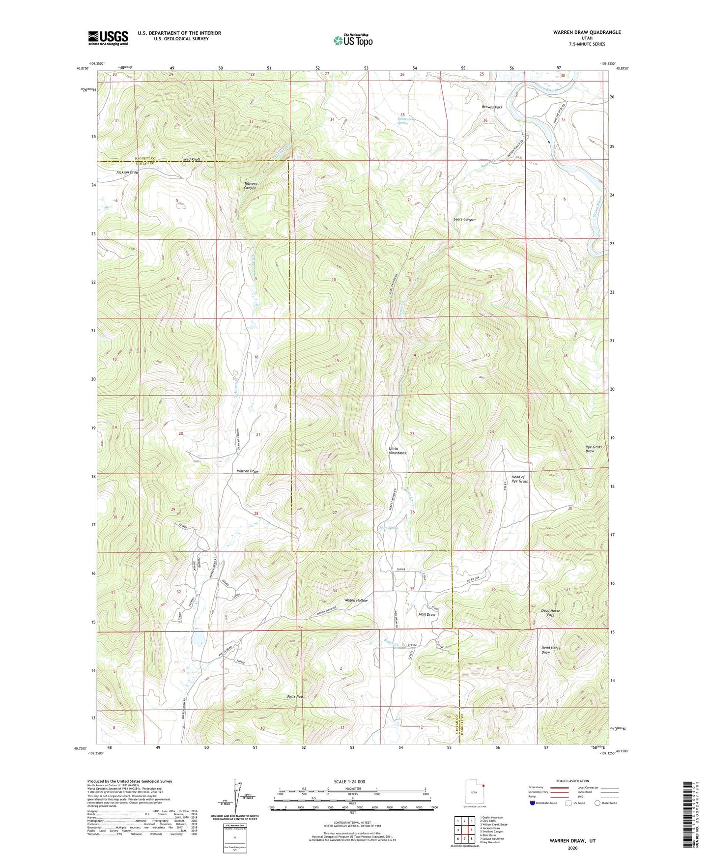
2020 topographic map quadrangle Warren Draw in the state of Utah. Scale: 1:24000. Based on the newly updated USGS 7.5' US Topo map series, this map is in the following counties: Uintah, Daggett. The map contains contour data, water features, and other items you are used to seeing on USGS maps, but also has updated roads and other features. This is the next generation of topographic maps. Printed on high-quality waterproof paper with UV fade-resistant inks.
Quads adjacent to this one:
West: Jackson Draw
Northwest: Goslin Mountain
North: Clay Basin
Northeast: Willow Creek Butte
East: Swallow Canyon
Southeast: Hoy Mountain
South: Crouse Reservoir
Southwest: Blair Basin
Contains the following named places: Dead Horse Pass, Felix Pass, Head of Rye Grass, Red Knoll, Sears Canyon, Sears Canyon Wildlife Management Area, Sears Creek, Sears Spring, Spitzenberg Spring, Tolivers Canyon, Wagon Hollow, Warren Draw, Warren Draw Wildlife Management Area