MyTopo
Bomoseen Vermont US Topo Map
Couldn't load pickup availability
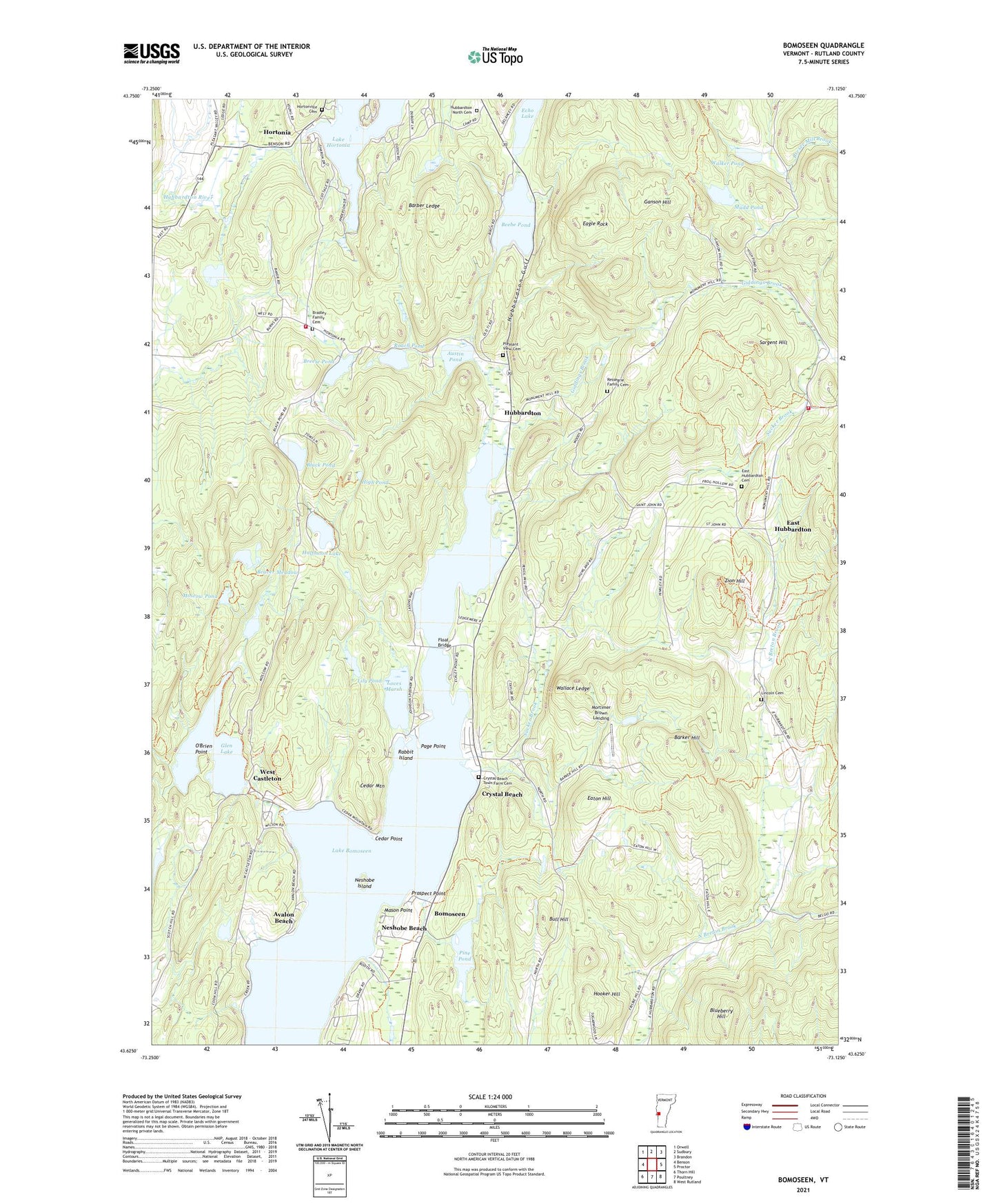
2021 topographic map quadrangle Bomoseen in the state of Vermont. Scale: 1:24000. Based on the newly updated USGS 7.5' US Topo map series, this map is in the following counties: Rutland. The map contains contour data, water features, and other items you are used to seeing on USGS maps, but also has updated roads and other features. This is the next generation of topographic maps. Printed on high-quality waterproof paper with UV fade-resistant inks.
Quads adjacent to this one:
West: Benson
Northwest: Orwell
North: Sudbury
Northeast: Brandon
East: Proctor
Southeast: West Rutland
South: Poultney
Southwest: Thorn Hill
Contains the following named places: Austin Pond, Austin Pond Dam, Avalon Beach, Bangall School, Barber Ledge, Barker Hill, Beaver Meadow, Beebe Pond, Beechwood Camp, Big D Campground, Black Pond, Blueberry Hill, Bomoseen, Bomoseen Hiking Loop, Bomoseen State Park, Bomoseen State Park Campground, Bomossen Wildlife Reserve, Bradley Family Cemetery, Bradley School, Breese Pond, Bull Hill, Camp Awanee, Camp Twin Lake, Castleton Municipal Forest, Cedar Mountain, Cedar Point, Chizmar Dam, Crystal Beach, Crystal Beach - Town Farm Cemetery, Daniel Coffey Memorial Trial, Eagle Rock, Eagle Rock Camp, East Hubbardton, East Hubbardton Cemetery, Eaton Hill, Echo Lake, Float Bridge, Ganson Hill, Giddings Brook, Glen Lake, Glen Lake Dam, Glen Lake Trail, Green Mountain Camp, Half Moon Pond Trail, Half Moon State Park Campground, Halfmoon Lake, High Pond, Hooker Hill, Hortonia, Hortonville Cemetery, Hubbardton, Hubbardton Battle Monument, Hubbardton Battlefield, Hubbardton Battlefield Wildlife Management Area, Hubbardton Fire Department Station 1, Hubbardton Fire Department Station 2, Hubbardton Gulf, Hubbardton North Cemetery, Lake Bomoseen, Lake Bomoseen Campground, Lake Hortonia Dam, Lily Pond, Lincoln Cemetery, Loves Marsh, Loves Marsh Dam, Marsh Pond Wildlife Management Area, Mason Point, Mortimer Brown Landing, Moscow Pond, Mudd Pond, Munger Dam, Neshobe Beach, Neshobe Island, North Breton School, O'Brien Point, Page Point, Parsons School, Pine Pond, Pine Pond Dam, Pleasant View Cemetery, Prospect Point, Rabbit Island, Ransomvale, Ressegrie Family Cemetery, Roach Pond, Said Dam, Said Pond, Saint Matthews Church, Sargent Hill, Sucker Brook, Town of Castleton, Town of Hubbardton, Turnpike School, Vermont State History Trail, Walker Pond, Walker Pond Dam, Wallace Ledge, West Castleton, Zion Hill, ZIP Codes: 05732, 05735