MyTopo
Jeffersonville Vermont US Topo Map
Couldn't load pickup availability
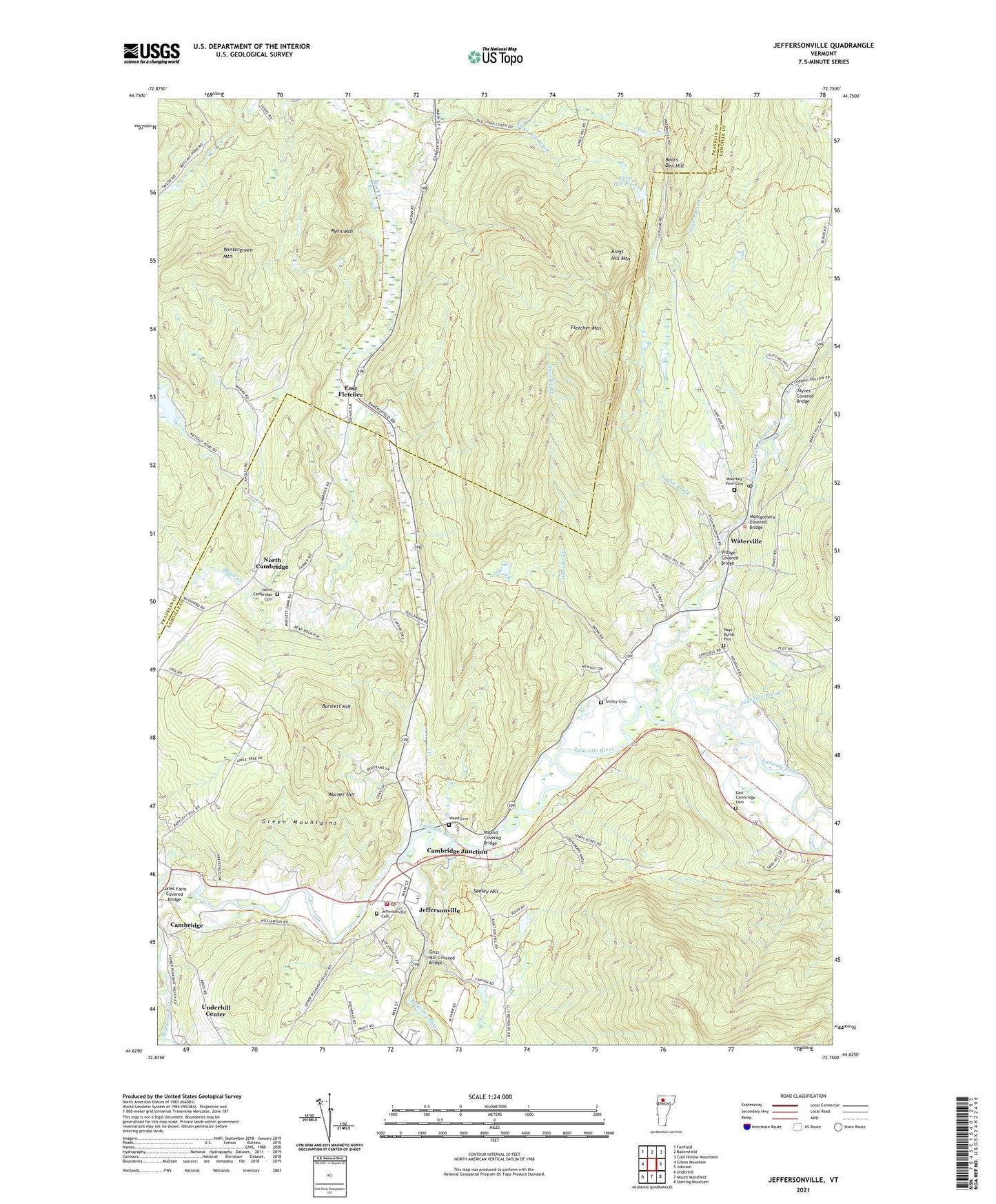
2021 topographic map quadrangle Jeffersonville in the state of Vermont. Scale: 1:24000. Based on the newly updated USGS 7.5' US Topo map series, this map is in the following counties: Lamoille, Franklin. The map contains contour data, water features, and other items you are used to seeing on USGS maps, but also has updated roads and other features. This is the next generation of topographic maps. Printed on high-quality waterproof paper with UV fade-resistant inks.
Quads adjacent to this one:
West: Gilson Mountain
Northwest: Fairfield
North: Bakersfield
Northeast: Cold Hollow Mountains
East: Johnson
Southeast: Sterling Mountain
South: Mount Mansfield
Southwest: Underhill
Contains the following named places: Bartlett Hill, Bears Den Hill, Brewster River, Cambridge Elementary School, Cambridge Fire Department, Cambridge Junction, Cambridge Meetinghouse, Cambridge Rescue Squad, Cambridge Town Fire Department, Cambridge Town Hall, Church of the Nazarene, Codding Brook, East Cambridge Cemetery, East Fletcher, Fletcher Mountain, Gates Farm Covered Bridge, Grist Mill Covered Bridge, Hunt Brook, Jaynes Covered Bridge, Jeffersonville, Jeffersonville Cemetery, Jeffersonville Chamber of Commerce, Jeffersonville Fire Department, Jeffersonville Historic District, Jeffersonville Post Office, Jeffersonville Sewage Treatment Facility, Jeffersonville Town Hall, Judevine Brook, Kingdom Hall of Jehovah's Witnesses, Kings Hill Brook, Kings Hill Mountain, Kings Hill Pond, Mary Bryan Memorial Art Gallery, Montgomery Covered Bridge, Mountain View Cemetery, North Branch Lamoille River, North Cambridge, North Cambridge Cemetery, Page Burial Plot, Poland Covered Bridge, Ryan Mountain, Second Congregational Church, Seeley Hill, Seymour River, Smiley Cemetery, Smiley School, Taylor Brook, The Old Town Hall, Town of Cambridge, Town of Waterville, Varnum Mamorial Library, Vermont Maple Outlet and Vermont Information Center, Village Covered Bridge, Village of Jeffersonville, Warner Hill, Waterville, Waterville Post Office, Waterville Town Hall, Waterville Town Library, Waterville Union Church, Wintergreen Mountain, Wood Cemetery, ZIP Codes: 05464, 05492