MyTopo
Johnson Vermont US Topo Map
Couldn't load pickup availability
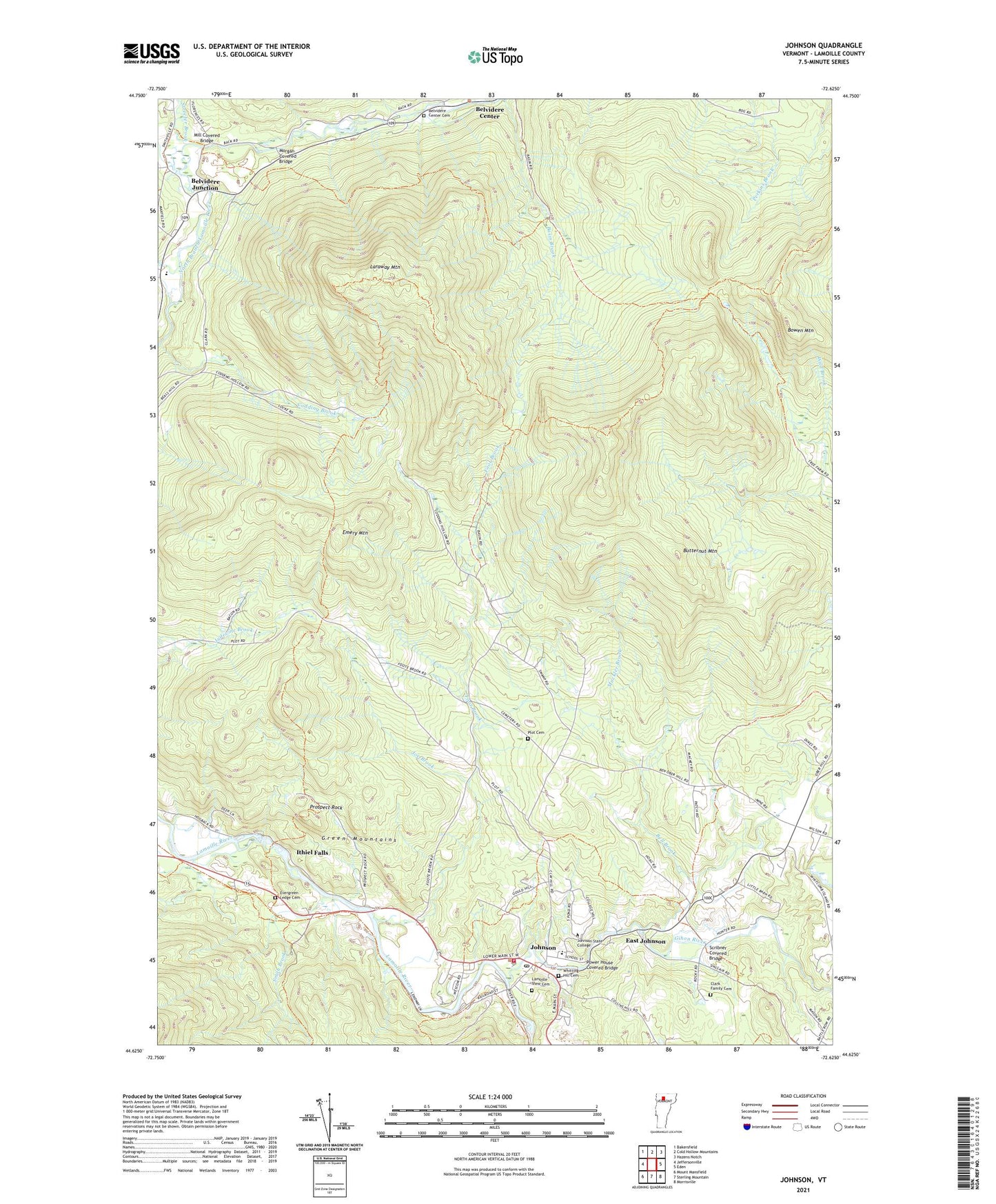
2024 topographic map quadrangle Johnson in the state of Vermont. Scale: 1:24000. Based on the newly updated USGS 7.5' US Topo map series, this map is in the following counties: Lamoille. The map contains contour data, water features, and other items you are used to seeing on USGS maps, but also has updated roads and other features. This is the next generation of topographic maps. Printed on high-quality waterproof paper with UV fade-resistant inks.
Quads adjacent to this one:
West: Jeffersonville
Northwest: Bakersfield
North: Cold Hollow Mountains
Northeast: Hazens Notch
East: Eden
Southeast: Morrisville
South: Sterling Mountain
Southwest: Mount Mansfield
This map covers the same area as the classic USGS quad with code o44072f6.
Contains the following named places: Barrows Camp, Basin Brook, Bell Brook, Belvidere Center Cemetery, Belvidere Elementary School, Belvidere Junction, Bowen Mountain, Butternut Mountain, Center Cemetery, Christy School, Clark Family Cemetery, East Johnson, Emery Mountain, Evergreen Ledge Cemetery, Fields of Harvest Ministries, Foot Brook, Gihon River, Hillside School, Hyde Park Dam, Ithiel Falls, Joe Brook, John Dewey Library, Johnson, Johnson Elementary School, Johnson Fire Department, Johnson Post Office, Johnson Shopping Center, Johnson State College, Lamoille County Grammar School, Lamoille View Cemetery, Laraway Mountain, Laraway School, Locke School, Masonic Temple, Mill Covered Bridge, Morgan Covered Bridge, Muckler Brook, North Fork North Branch Lamoille River, Northern Emergency Medical Services, Parker Camp, Plot Cemetery, Power House Covered Bridge, Prospect Rock, Saint Johns Catholic Church, Scribner Covered Bridge, Smith Brook, Streeter Brook, The Church of Jesus Christ of Latter Day Saints, Town of Johnson, United Church of Johnson, Vermont Studio School, Vermont Studio School Lecture Hall, Village of Johnson, Waterville Elementary School, Whitting Hill Cemetery, WJSC-FM (Johnson), ZIP Code: 05656


