MyTopo
Monadnock Mountain Vermont US Topo Map
Couldn't load pickup availability
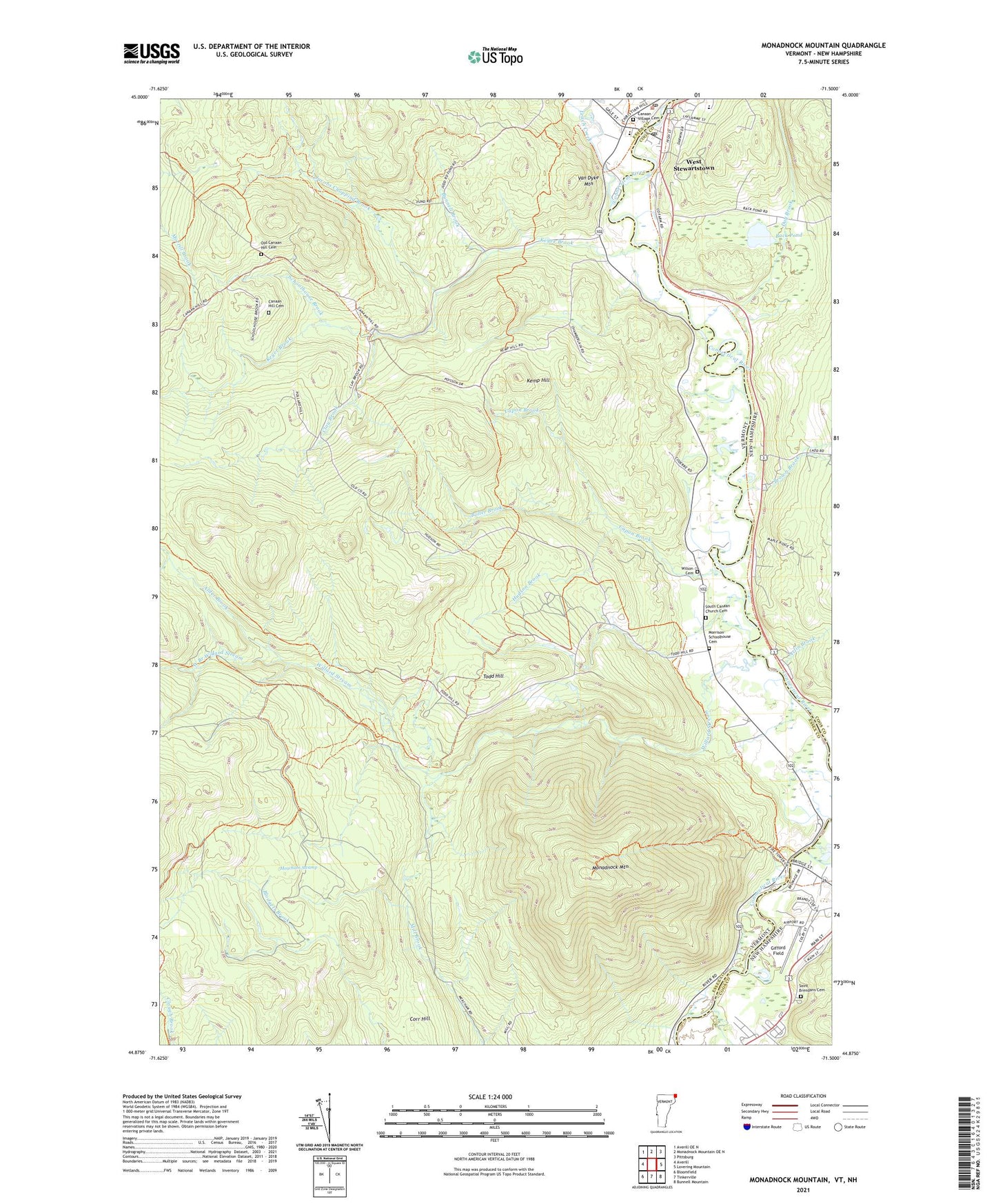
2024 topographic map quadrangle Monadnock Mountain in the state of Vermont. Scale: 1:24000. Based on the newly updated USGS 7.5' US Topo map series, this map is in the following counties: Essex, Coos. The map contains contour data, water features, and other items you are used to seeing on USGS maps, but also has updated roads and other features. This is the next generation of topographic maps. Printed on high-quality waterproof paper with UV fade-resistant inks.
Quads adjacent to this one:
West: Averill
Northwest: Averill OE N
Northeast: Pittsburg
East: Lovering Mountain
Southeast: Bunnell Mountain
South: Tinkerville
Southwest: Bloomfield
This map covers the same area as the classic USGS quad with code o44071h5.
Contains the following named places: Alder Brook, Alice M Ward Memorial Library, Arlins, Bolter Brook, Bunnell Airfield, Bunnell Brook, Camp Number Five, Camp Number Four, Camp Number Three, Canaan, Canaan Hill Cemetery, Canaan Post Office, Canaan Village Cemetery, Canann Elementary School, Canann High School, Capon Brook, Clay Brook, Corr Hill, Hudson Brook, Jacobs Chopping Brook, Kemp Hill, Keyer Brook, Leach Creek, Meacham Swamp, Monadnock Mountain, Morrison-Schoolhouse Cemetery, Old Canaan Hill Cemetery, Schoolhouse Brook, South Canaan Church Cemetery, Todd Hill, Town of Canaan, Town of Lemington, Van Dyke Mountain, West Branch Willard Stream, Willard Stream, Wilson Cemetery, ZIP Code: 05903