MyTopo
West Charleston Vermont US Topo Map
Couldn't load pickup availability
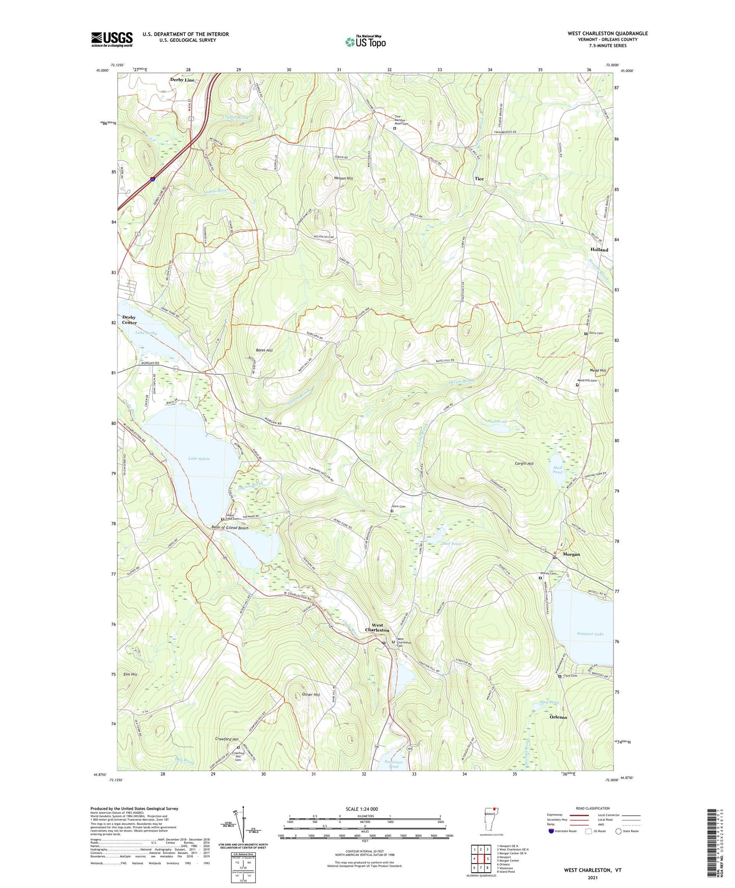
2024 topographic map quadrangle West Charleston in the state of Vermont. Scale: 1:24000. Based on the newly updated USGS 7.5' US Topo map series, this map is in the following counties: Orleans. The map contains contour data, water features, and other items you are used to seeing on USGS maps, but also has updated roads and other features. This is the next generation of topographic maps. Printed on high-quality waterproof paper with UV fade-resistant inks.
Quads adjacent to this one:
West: Newport
Northwest: Newport OE N
North: West Charleston OE N
Northeast: Morgan Center OE N
East: Morgan Center
Southeast: Island Pond
South: Westmore
Southwest: Orleans
This map covers the same area as the classic USGS quad with code o44072h1.
Contains the following named places: Balm of Gilead Beach, Bates Hill, Cargill Hill, Castle Cemetery, Chargo Campground, Charleston Pond, Clark Cemetery, Coche Brook, Crawford Hill, Crawford Hill Cemetery, Crystal Brook, Davis Cemetery, Derby Center Cemetery, E Taylor Hatton School, Elm Hill, Gore Cemetery, Green School, Greens Brook, Holland, Holland Congregational Church, Holland Elementary School, Lake Derby, Lake Salem, Little Salem Pond, Mead Hill, Mead Hill Cemetery, Meadow Brook Girl Scout Camp, Moon Cemetery, Morgan, Morgan Post Office, Mount Pisgah East Trail, Mud Pond, Nelson Hill, Oliver Hill, Orcutt Brook, Pensioner Pond, Pensioner Pond Dam, Pisgah Trail, Salem Lake Cemetery, Tice, Tice - Marston - Moon Cemetery, Tice-Marston Cemetery, West Charleston, West Charleston Cemetery, West Charleston Post Office, Wilcox Cemetery, ZIP Code: 05829