MyTopo
Axton Virginia US Topo Map
Couldn't load pickup availability
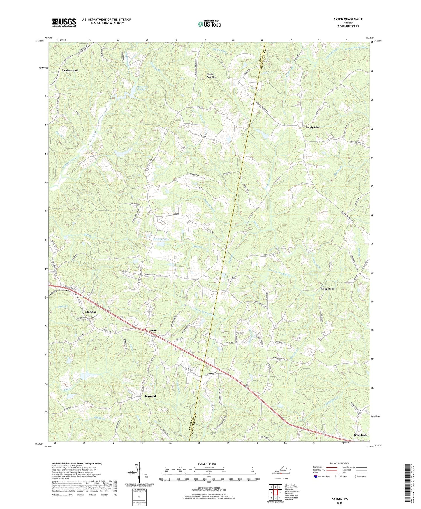
2019 topographic map quadrangle Axton in the state of Virginia. Scale: 1:24000. Based on the newly updated USGS 7.5' US Topo map series, this map is in the following counties: Henry, Pittsylvania. The map contains contour data, water features, and other items you are used to seeing on USGS maps, but also has updated roads and other features. This is the next generation of topographic maps. Printed on high-quality waterproof paper with UV fade-resistant inks.
Quads adjacent to this one:
West: Martinsville East
Northwest: Snow Creek
North: Mountain Valley
Northeast: Callands
East: Whitmell
Southeast: Brosville
South: Northeast Eden
Southwest: Northwest Eden
Contains the following named places: Anderson Chapel, Axton, Axton Baptist Church, Axton Elementary School, Axton Life Saving Crew, Axton Post Office, Axton School, Axton Volunteer Fire Department, Bear Branch, Boxwood, Boxwood Hunt Club Dam, Boxwood Hunt Club Lake, Burnt Chimneys, Camp Axton, Carroll Church, Cherrytree Branch, Cranberry Memorial Church, Cranberry School, Crooked Run, Davis Field Airport, Davis Store, Elect School, Elizabeth Temple Church, Emerson School, Fishing Fork, Frith Equipment Corporation Dam, Georgia Branch, Glady Fork, Glady Fork Mountain, Greens Store, Greenwood Church, Iriswood District, Leatherwood, Leatherwood Creek Number Five Dam, Mann Creek, Mash Branch, Midway Church, Mount Calvary Church, Mount Sinai Church, New Design Church, Petras Branch, Pleasant Valley Church, Reservoir Number 5, Robinson Dam, Robinson Lake, Rocky Ford Branch, Sandy River, Sandy River School, Sharon Grove Church, Soapstone, Soapstone School, Stockton, Suckegg Branch, Tanyard Creek, Watkins Branch, Watkins School, ZIP Code: 24054