MyTopo
Mountain Valley Virginia US Topo Map
Couldn't load pickup availability
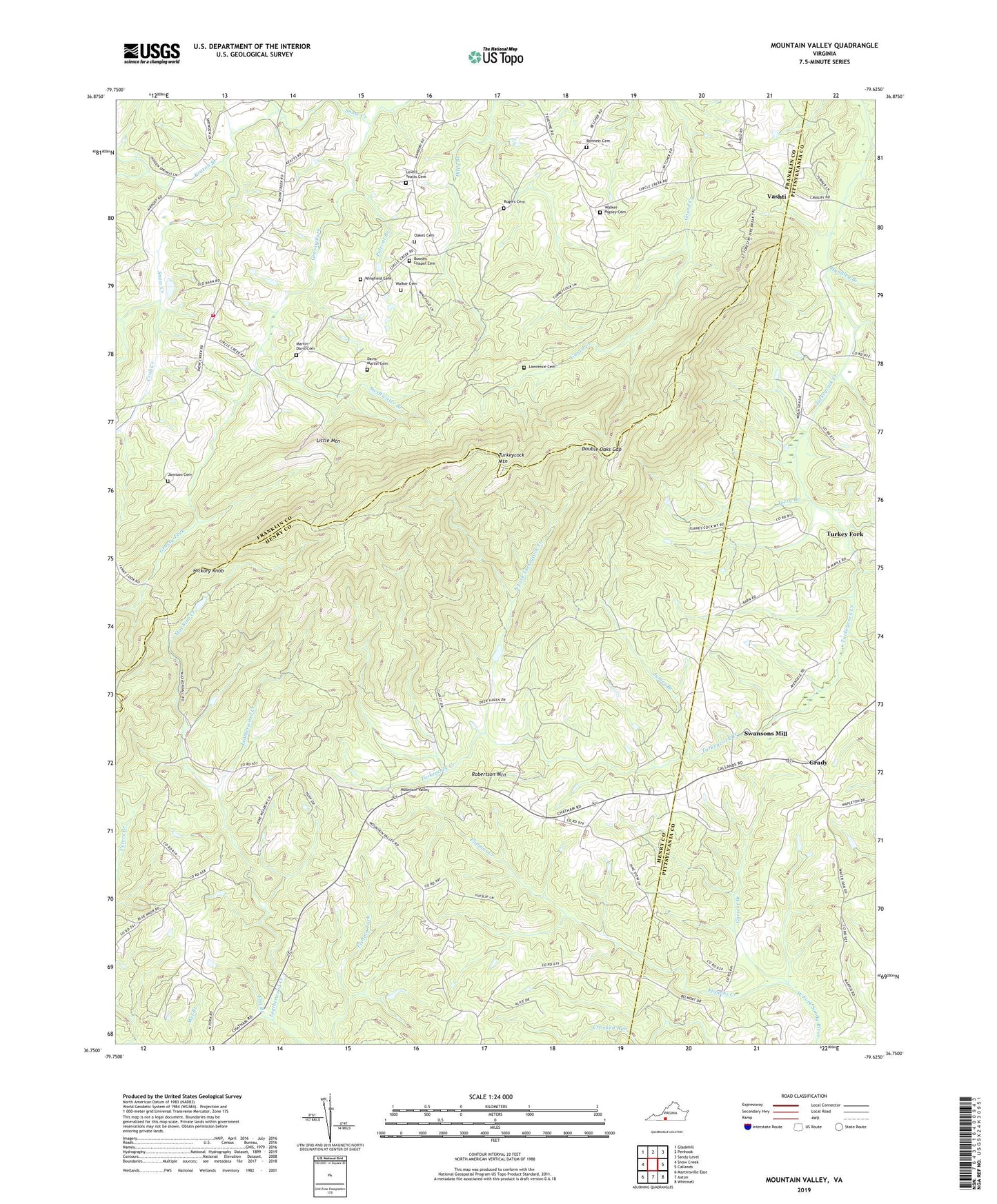
2022 topographic map quadrangle Mountain Valley in the state of Virginia. Scale: 1:24000. Based on the newly updated USGS 7.5' US Topo map series, this map is in the following counties: Henry, Franklin, Pittsylvania. The map contains contour data, water features, and other items you are used to seeing on USGS maps, but also has updated roads and other features. This is the next generation of topographic maps. Printed on high-quality waterproof paper with UV fade-resistant inks.
Quads adjacent to this one:
West: Snow Creek
Northwest: Gladehill
North: Penhook
Northeast: Sandy Level
East: Callands
Southeast: Whitmell
South: Axton
Southwest: Martinsville East
This map covers the same area as the classic USGS quad with code o36079g6.
Contains the following named places: Bennett Cemetery, Boones Chapel, Boones Chapel Cemetery, Border School, Breckenridge School, County Line Church, Crab Creek, Davis - Martin Cemetery, Double Oaks Gap, Elm Branch, Flippins Creek, Garrett Branch, Giles Store, Goulding School, Grady, Grassy Fork, Greystone School, Guthrie Branch, Hickory Knob, Hodges Mill, Hundley Branch, James Branch, Jamison Cemetery, Keaton Branch, Lawrence Cemetery, Little Mountain, Lovell - Yeatts Cemetery, Machine Creek, Martin - Davis Cemetery, Mount Parris Church, Mount Vernon Church, Mountain Vale School, Mountain Valley, Mountain Valley Church, Mountain View School, North Fork Church, North Fork Turkeycock Creek, Oakes Cemetery, Parkers Store, Polecat Branch, Robertson Mountain, Rogers Cemetery, Sailor Creek, Schoolfield Church, Snow Creek Rescue Squad - Squad 6, Snow Creek Volunteer Fire Department Company 6, Swansons Mill, Swiftwater Branch, Terry Branch, Turkey Fork, Turkeycock Lookout Tower, Turkeycock Mountain, Turkeycock Wildlife Management Area, Vashti, Walker - Rigney Cemetery, Walker Cemetery, Wingfield Cemetery