MyTopo
Brightwood Virginia US Topo Map
Couldn't load pickup availability
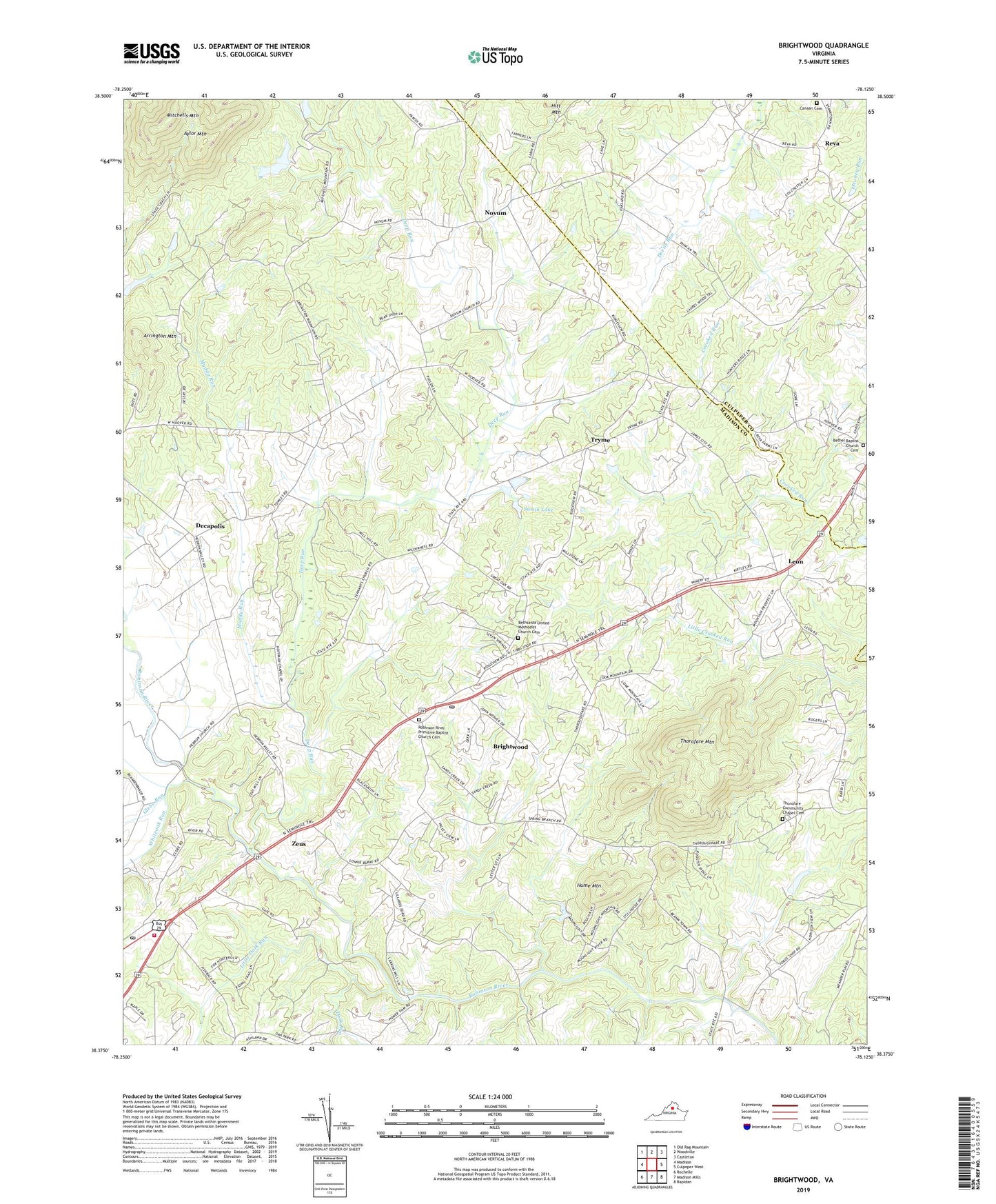
2022 topographic map quadrangle Brightwood in the state of Virginia. Scale: 1:24000. Based on the newly updated USGS 7.5' US Topo map series, this map is in the following counties: Madison, Culpeper. The map contains contour data, water features, and other items you are used to seeing on USGS maps, but also has updated roads and other features. This is the next generation of topographic maps. Printed on high-quality waterproof paper with UV fade-resistant inks.
Quads adjacent to this one:
West: Madison
Northwest: Old Rag Mountain
North: Woodville
Northeast: Castleton
East: Culpeper West
Southeast: Rapidan
South: Madison Mills
Southwest: Rochelle
This map covers the same area as the classic USGS quad with code o38078d2.
Contains the following named places: Arrington Mountain, Aylor Mountain, Bethel Baptist Church Cemetery, Bethel Church, Bethsaida United Methodist Church, Bethsaida United Methodist Church Cemetery, Brightwood, Brightwood Census Designated Place, Brightwood Post Office, Canaan Cemetery, Canaan Church, Chestnut Grove Baptist Church, Dark Run, Decapolis, Deep Run, Glebe Run, Grand Pre Farm Airport, Hablutzel Lake, Hablutzel Lake Dam, Hebron Lutheran Church, Hume Mountain, Leon, Little Dark Run, Madison Church of the Brethren, Madison County Emergency Medical Services, Madison County Rescue Squad, Madison County Volunteer Fire Company, Madison Post Office, Madison Wayside, Mitchells Mountain, Mount Calvary Baptist Church, Muddy Run, Novum, Oakland School, Our Lady of the Blue Ridge Catholic Church, Pentacostal Church, Reva, Robinson River Church, Robinson River Primitive Baptist Church Cemetery, Russells Ferry, Swain Dam, Swain Lake, Thorofare Community Chapel, Thorofare Community Chapel Cemetery, Thorofare Mountain, Tryme, Whiteoak Run, Zeus, ZIP Codes: 22715, 22722, 22735


