MyTopo
Castleton Virginia US Topo Map
Couldn't load pickup availability
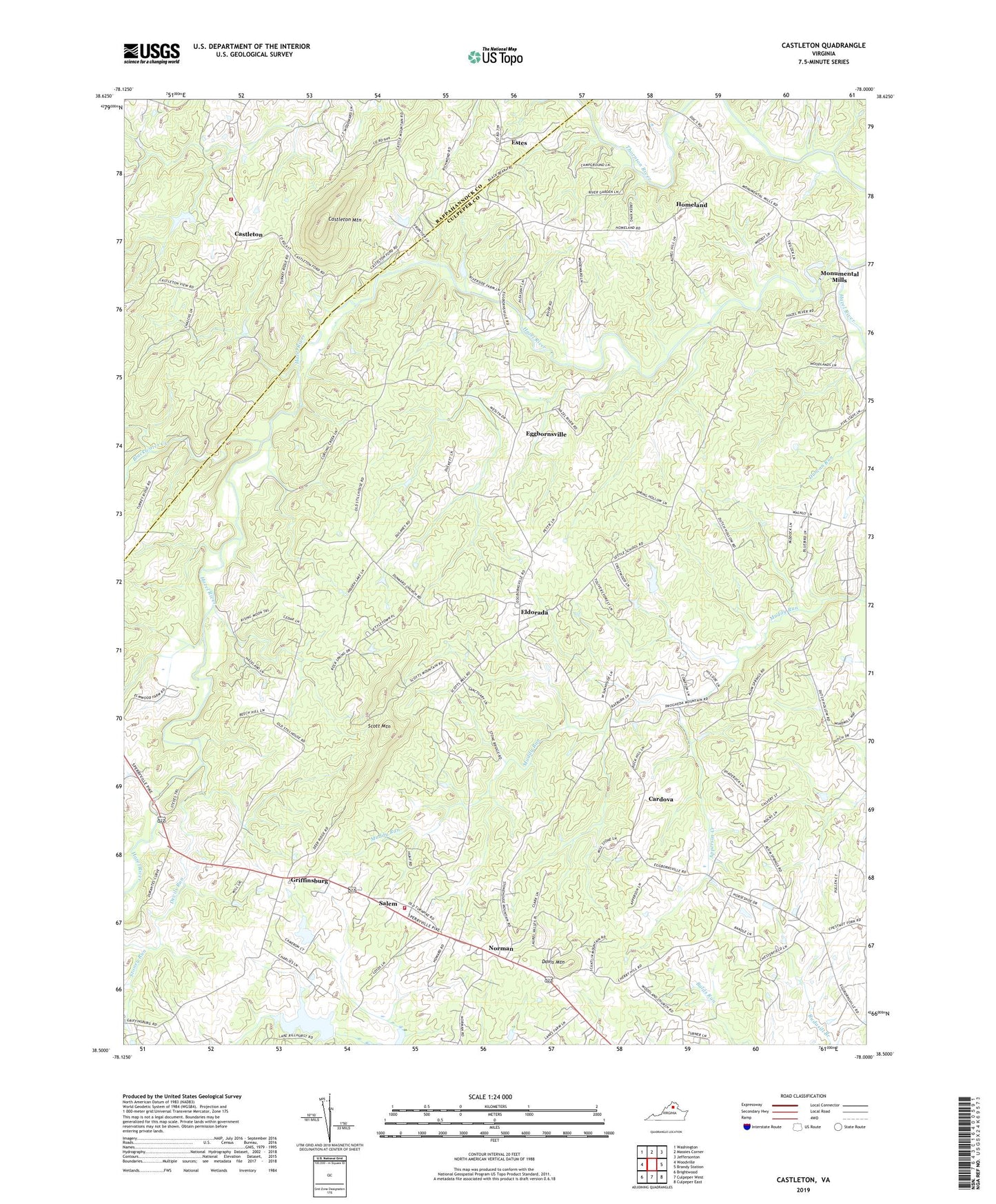
2022 topographic map quadrangle Castleton in the state of Virginia. Scale: 1:24000. Based on the newly updated USGS 7.5' US Topo map series, this map is in the following counties: Culpeper, Rappahannock. The map contains contour data, water features, and other items you are used to seeing on USGS maps, but also has updated roads and other features. This is the next generation of topographic maps. Printed on high-quality waterproof paper with UV fade-resistant inks.
Quads adjacent to this one:
West: Woodville
Northwest: Washington
North: Massies Corner
Northeast: Jeffersonton
East: Brandy Station
Southeast: Culpeper East
South: Culpeper West
Southwest: Brightwood
This map covers the same area as the classic USGS quad with code o38078e1.
Contains the following named places: Alum Springs Church, Apperson Creek, Beulah Church, Black Oak Church, Blackwater Creek, Cardova, Castleton, Castleton Community Volunteer Fire Company, Castleton Mountain, Catalpa District, Chesterfield Estates, Compton Dam, Davis Mountain, Devils Run, Dunker Church, Eggbornsville, Eldorada, Eldorado School, Estes, Fields at Griffinsburg, Good Hope Baptist Church, Gourdvine Church, Griffinsburg, Hazel River Assembly Church, Homeland, Hope Hill Baptist Church, Kerrington, Kingdom Hall Church, Monumental Mills, Monumental Mills Dam, New Salem Church, Norman, Norman School, Salem, Salem District, Salem School, Salem Volunteer Department, Salem Volunteer Fire and Rescue, Scott Mountain, Stoney Run, Thornton River, Thornton River Camp, Village at Griffinsburg, West Lakes, Woodland Church, ZIP Codes: 22713, 22737