MyTopo
Flat Gap Virginia US Topo Map
Couldn't load pickup availability
Also explore the Flat Gap Forest Service Topo of this same quad for updated USFS data
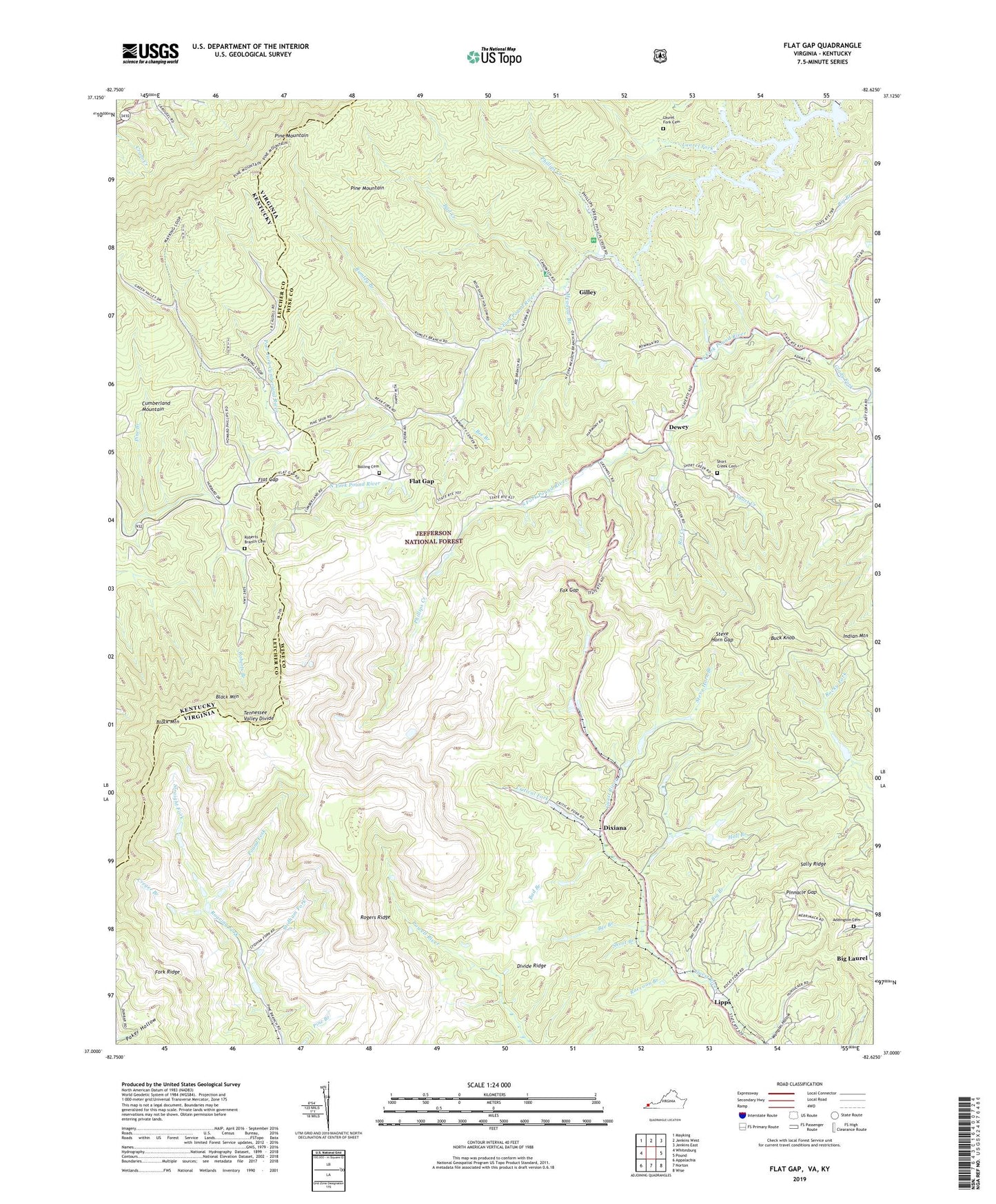
2022 topographic map quadrangle Flat Gap in the states of Virginia, Kentucky. Scale: 1:24000. Based on the newly updated USGS 7.5' US Topo map series, this map is in the following counties: Wise, Letcher. The map contains contour data, water features, and other items you are used to seeing on USGS maps, but also has updated roads and other features. This is the next generation of topographic maps. Printed on high-quality waterproof paper with UV fade-resistant inks.
Quads adjacent to this one:
West: Whitesburg
Northwest: Mayking
North: Jenkins West
Northeast: Jenkins East
East: Pound
Southeast: Wise
South: Norton
Southwest: Appalachia
This map covers the same area as the classic USGS quad with code o37082a6.
Contains the following named places: Addington Cemetery, Bad Branch, Bad Creek, Bear Fork, Bee Bottom Picnic Area, Bee Branch, Big Branch, Bolling Cemetery, Bowling School, Buck Knob, Buck Knob Lookout, Cane Patch Campground, Cane Patch Church, Creger Branch, Critical Fork, Dewey, District 1, Divide Ridge, Dixiana, Dixiana Mine Dam, Donald Branch, Flat Gap, Flat Gap Church, Flat Gap School, Fork Ridge, Fox Gap, Gilley, Gilley School, Glady Fork, Glady Fork School, Goble Branch School, Hall Branch, Hopkins Branch, Hunsucker School, Independent Bible Church, Indian Mountain, Laurel Fork, Laurel Fork Campground, Laurel Fork Cemetery, Laurel Fork School, Lipps, Marthas Chapel, Meadow Branch, North Fork, North Fork of Pound Dam, North Fork of Pound Lake, Phillips Creek, Phillips Creek Picnic Area, Pine Branch, Pinnacle Gap, Poker Hollow, Pound Fork, Pound Launch, Raccoon Branch, Rat Creek, Roberts Branch, Roberts Branch Cemetery, Rocky Fork School, Rogers Ridge, Rumley Branch, Sally Ridge, Short Branch, Short Creek, Short Creek Cemetery, Steer Branch, Steer Branch Dam, Steer Branch Pond, Steve Horn Branch, Steve Horn Gap, Stidham Fork, Straight Fork, Upper Cumberland, Upper Cumberland School, WIFX-FM (Jenkins), Wise Launch, WMMT-FM (Whitesburg), ZIP Code: 24279


