MyTopo
Holland Virginia US Topo Map
Couldn't load pickup availability
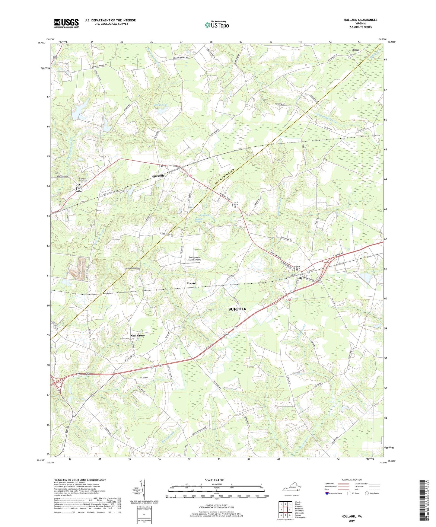
2022 topographic map quadrangle Holland in the state of Virginia. Scale: 1:24000. Based on the newly updated USGS 7.5' US Topo map series, this map is in the following counties: Suffolk (city), Isle of Wight. The map contains contour data, water features, and other items you are used to seeing on USGS maps, but also has updated roads and other features. This is the next generation of topographic maps. Printed on high-quality waterproof paper with UV fade-resistant inks.
Quads adjacent to this one:
West: Franklin
Northwest: Sedley
North: Zuni
Northeast: Windsor
East: Buckhorn
Southeast: Whaleyville
South: Gates
Southwest: Riverdale
This map covers the same area as the classic USGS quad with code o36076f7.
Contains the following named places: Alemar Dam, Alemar Pond, Ballards Crossroads, Beales Corner, Beaver Dam Cemetery, Beaverdam Church, Bethel Church, Boaz, Brandywyne Farms Airport, Carrsville, Carrsville Census Designated Place, Carrsville Elementary School, Carrsville Post Office, Carrsville Volunteer Fire Department, Ducks Store, Elwood, Holland, Holland Millpond, Holland Mission United Church of Christ, Holland Post Office, Holland Primary School, Jerusalem Church, Kingsale Swamp, Kingsdale Industrial Park, Laurel Hill Church, Laurel Hill School, Mount Gethsemane Church, Mount Sinai Church, New Road School, Oak Grove, Pineville, Pleasant Shade School, Pulaski Church, Saint Matthews Church, Silver Spring School, South Quay Church, South Quay School, Southwestern Elementary School, Suffolk Department of Fire and Rescue Station 7 Holland Volunteer Fire Department, ZIP Codes: 23315, 23437