MyTopo
Narrows Virginia US Topo Map
Couldn't load pickup availability
Also explore the Narrows Forest Service Topo of this same quad for updated USFS data
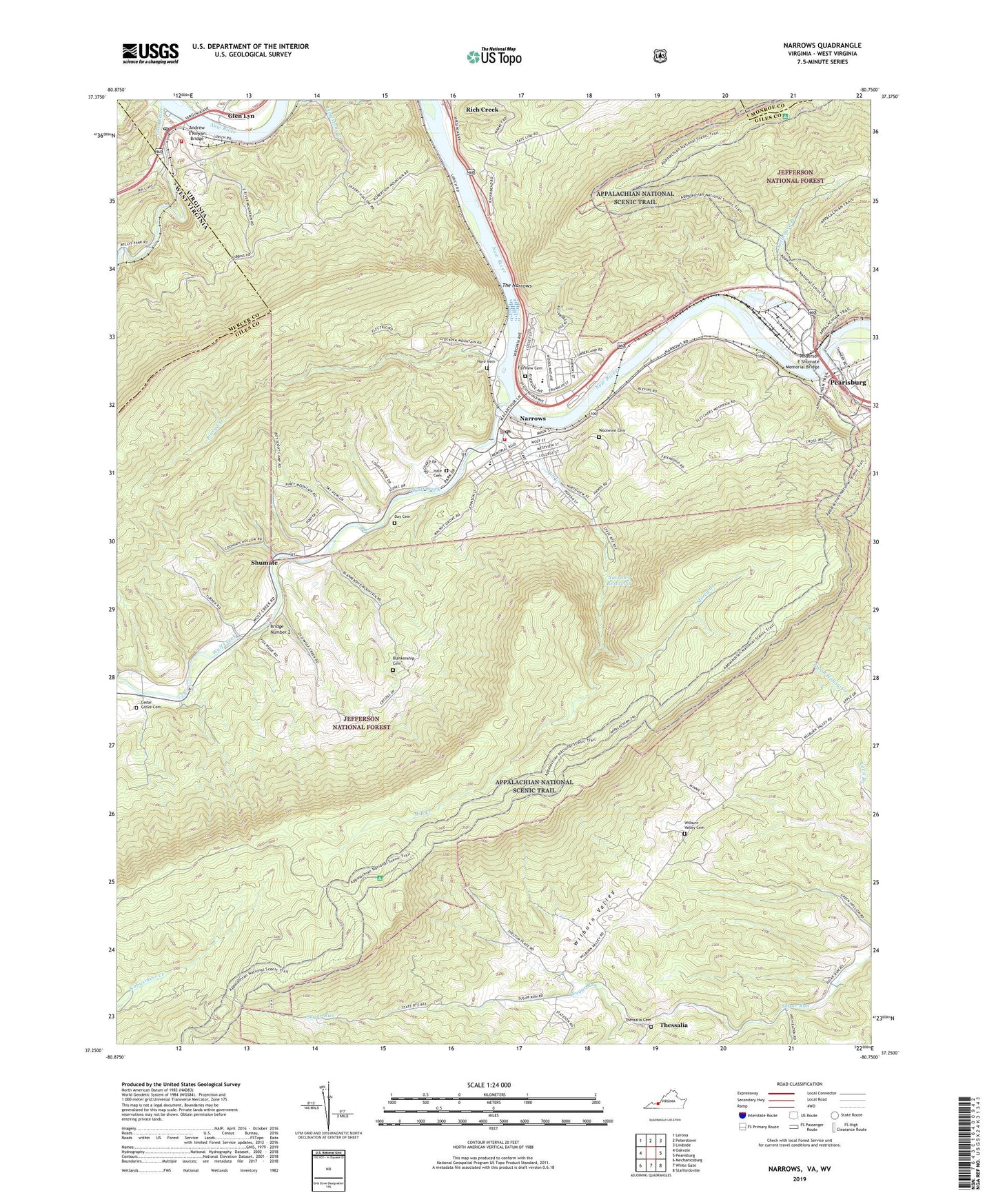
2022 topographic map quadrangle Narrows in the states of Virginia, West Virginia. Scale: 1:24000. Based on the newly updated USGS 7.5' US Topo map series, this map is in the following counties: Giles, Mercer, Monroe. The map contains contour data, water features, and other items you are used to seeing on USGS maps, but also has updated roads and other features. This is the next generation of topographic maps. Printed on high-quality waterproof paper with UV fade-resistant inks.
Quads adjacent to this one:
West: Oakvale
Northwest: Lerona
North: Peterstown
Northeast: Lindside
East: Pearisburg
Southeast: Staffordsville
South: White Gate
Southwest: Mechanicsburg
Contains the following named places: Adair Run, Anderson E Shumate Memorial Bridge, Andrew S Rowan Bridge, Angels Rest, Blankenship Cemetery, Blankenship School, Bluff City, Bluff City United Methodist Church, Bridge Number 2, Cedar Grove Cemetery, Cedar Grove Church, Central District, Day Cemetery, East River, Fairview Cemetery, First Baptist Church, First Christian Church, First Presbyterian Church, Fletcher School, French, Glen Lyn, Glen Lyn Flyash Dam, Glen Lyn Flyash Pond, Glen Lyn Post Office, Glen Lyn Volunteer Fire Department, Hale Cemetery, Hare Cemetery, Hemlock Ridge, Mercy Branch, Mill Creek, Narrows, Narrows Baptist Church, Narrows Elementary - Middle School, Narrows High School, Narrows Police Department, Narrows Post Office, Narrows Reservoir, Narrows Volunteer Fire Department, New Valley Fellowship Church, North Pearisburg, Pearis Mountain, Piney Creek, Piney Ridge, Saunders Grove Church, Sentinel Point, Shumate, Stillhouse Branch, The Narrows, Thessalia, Thessalia Cemetery, Thessalia United Methodist Church, Town of Glen Lyn, Town of Narrows, Turnhole Knob, Western District, Wilburn Valley, Wilburn Valley Cemetery, Wilburn Valley School, Willowton School, WNRV Radio Tower (Tazewell), WNRV-AM (Narrows-Pearisburg), WNRV-FM (Narrows), Wolf Creek, Woolwine Cemetery, ZIP Code: 24124


