MyTopo
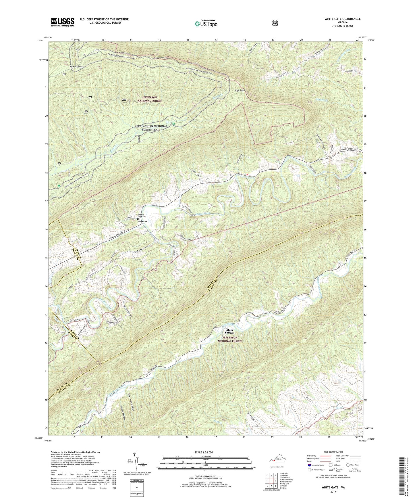
White Gate Virginia US Topo Map
Couldn't load pickup availability
Also explore the White Gate Forest Service Topo of this same quad for updated USFS data
2022 topographic map quadrangle White Gate in the state of Virginia. Scale: 1:24000. Based on the newly updated USGS 7.5' US Topo map series, this map is in the following counties: Giles, Pulaski, Bland. The map contains contour data, water features, and other items you are used to seeing on USGS maps, but also has updated roads and other features. This is the next generation of topographic maps. Printed on high-quality waterproof paper with UV fade-resistant inks.
Quads adjacent to this one:
West: Mechanicsburg
Northwest: Oakvale
North: Narrows
Northeast: Pearisburg
East: Staffordsville
Southeast: Dublin
South: Pulaski
Southwest: Long Spur
This map covers the same area as the classic USGS quad with code o37080b7.
Contains the following named places: Alum Springs, Big Horse Gap, Bland County Farm Dam, Dismal Peak Fire Tower, Farmer Back Creek Farm, Flat Hollow, Flat Top Mountain, High Point, Honey Spring Patrol Cabin, Kimberling Creek, Little Creek, Massie District, Mount Zion Church, Pine Grove School, Poplar Hill Volunteer Fire Department, Ripple Trail, Sassin, Sassin Church, Shady Grove Church, Silver Mine Hollow, Sugar Run Mountain, Sulphur Hollow, Walkers Creek Academy, Walkers Creek Baptist Church, Walkers Creek Cemetery, Walkers Creek Church, Wapiti Shelter, Wapitu Shelter, White Gate, ZIP Codes: 24084, 24134


