MyTopo
North Virginia Beach Virginia US Topo Map
Couldn't load pickup availability
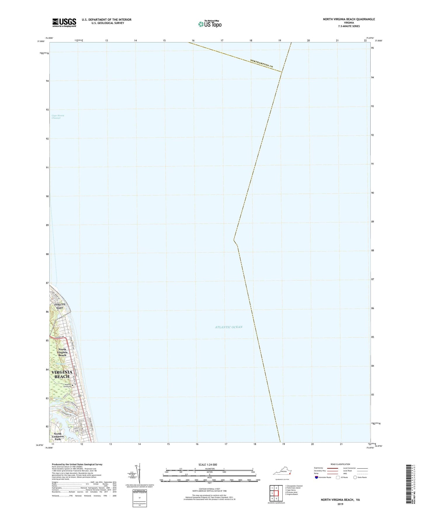
2022 topographic map quadrangle North Virginia Beach in the state of Virginia. Scale: 1:24000. Based on the newly updated USGS 7.5' US Topo map series, this map is in the following counties: Virginia Beach (city), Northampton. The map contains contour data, water features, and other items you are used to seeing on USGS maps, but also has updated roads and other features. This is the next generation of topographic maps. Printed on high-quality waterproof paper with UV fade-resistant inks.
Quads adjacent to this one:
West: Cape Henry
Northwest: Chesapeake Channel
North: Fishermans Island
South: Virginia Beach
Southwest: Princess Anne
This map covers the same area as the classic USGS quad with code o36075h8.
Contains the following named places: Atlantic University, Cape Henry Channel, Cavalier Park, Chesapeake Bay Entrance, Crystal Lake, Fort Story Spier Heliport, Four H Camp, North Virginia Beach, Rainey Gut