MyTopo
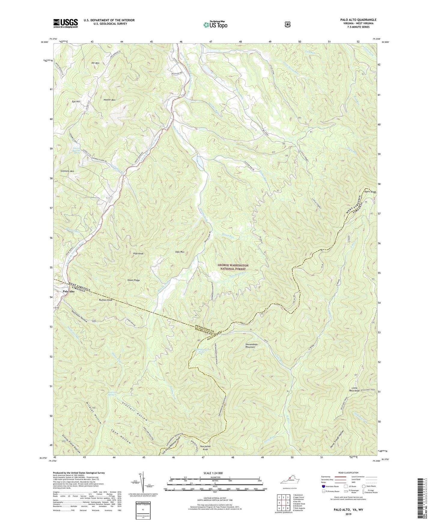
Palo Alto Virginia US Topo Map
Couldn't load pickup availability
Also explore the Palo Alto Forest Service Topo of this same quad for updated USFS data
2022 topographic map quadrangle Palo Alto in the states of West Virginia, Virginia. Scale: 1:24000. Based on the newly updated USGS 7.5' US Topo map series, this map is in the following counties: Augusta, Pendleton, Highland. The map contains contour data, water features, and other items you are used to seeing on USGS maps, but also has updated roads and other features. This is the next generation of topographic maps. Printed on high-quality waterproof paper with UV fade-resistant inks.
Quads adjacent to this one:
West: Doe Hill
Northwest: Moatstown
North: Sugar Grove
Northeast: Brandywine
East: Reddish Knob
Southeast: Stokesville
South: West Augusta
Southwest: McDowell
Contains the following named places: Ale Mountain, Bald Knob Trail, Broad Run, Brushy Fork, Brushy Fork Church, Buffalo Knob, Chestnut Ridge, Crummett Church, Crummett Run, Dam Number 18, Dam Number 32, Dam Number 35, Dam Number 36, Dyers Knob, Eye Hill, Flesher Run, Gammel Run, Grottoes Police Department, Grottoes Volunteer Rescue Squad, Grottoes Volunteer Rescue Squad 20, High Knob, Huffman Hollow, Little Bald Knob, Little River, Lynn Hollow, New Road Run, Palo Alto, Panther Run, Puffenbarger Pond, Rock Lick Spring, Shaws Ridge, Shenadoah Mountain Picnic Area, Shenandoah Mountain Campsite, Sinclair Hollow, South Fork Structure Number 18 Dam, South Fork Structure Number 32 Dam, South Fork Structure Number 33 Dam, South Fork Structure Number 35 Dam, South Fork Structure Number 36 Dam, Spring Run, Tearjacket Knob, Trout Run, Ugly Mountain, Varner Hollow, Warren Rexrode Spring, Wildcat Hollow, Wilfong Church, ZIP Code: 26815