MyTopo
Piney River Virginia US Topo Map
Couldn't load pickup availability
Also explore the Piney River Forest Service Topo of this same quad for updated USFS data
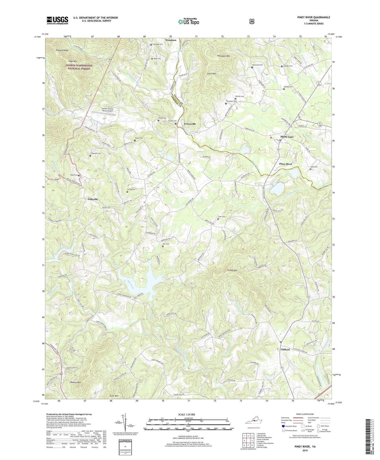
2022 topographic map quadrangle Piney River in the state of Virginia. Scale: 1:24000. Based on the newly updated USGS 7.5' US Topo map series, this map is in the following counties: Amherst, Nelson. The map contains contour data, water features, and other items you are used to seeing on USGS maps, but also has updated roads and other features. This is the next generation of topographic maps. Printed on high-quality waterproof paper with UV fade-resistant inks.
Quads adjacent to this one:
West: Forks of Buffalo
Northwest: Montebello
North: Massies Mill
Northeast: Horseshoe Mountain
East: Arrington
Southeast: Buffalo Ridge
South: Amherst
Southwest: Tobacco Row Mountain
This map covers the same area as the classic USGS quad with code o37079f1.
Contains the following named places: Beard Cemetery, Beaver Creek, Buffalo River Dam Number Three, Camden Cemetery, Campbell Cemetery, Canodys Store, Carpenter Cemetery, Cash Cemetery, Central Baptist Church, Clifford, Clifford Baptist Church, Clifford Post Office, Crawford Creek, Fulcher Cemetery, Fulcher Family Farms Airport, Gidsville, Giles Cemetery, Harewood Cemetery, Harvey Cemetery, Henley Cemetery, Henleys Store, Holy Temple Church, Indian Creek, Ivy Hill Baptist Church, Jerusalem Church, Little Mountain, Little Piney River, Long Branch, Loving Cemetery, Lowesville, Maple Run, Mays Cemetery, Mill Creek, Mobley Mountain, Mount Moriah Church, Muddy Branch, Page Mountain, Parr Cemetery, Piney River, Piney River Post Office, Piney River Quarry, Piney River Volunteer Fire Department, Pleasant Grove Church, Pleasant Grove School, Saint James Church, Saint Mark Baptist Church, Saint Marks Church, Saint Mary Baptist Church, Saint Marys School, Saint Peters Baptist Church, Saint Peters School, Scott Branch, Scott Mountain, Shady Lane, Steele Cemetery, Stonehouse Creek, Stonewall Creek, Temperance Elementary School, Thomas Creek, Thompson Cemetery, Thompson Mountain, Tucker Cemetery, Turkey Mountain, Whiteoak Branch, Winton Country Club Dam, ZIP Code: 24521


