MyTopo
Pleasant Ridge Virginia US Topo Map
Couldn't load pickup availability
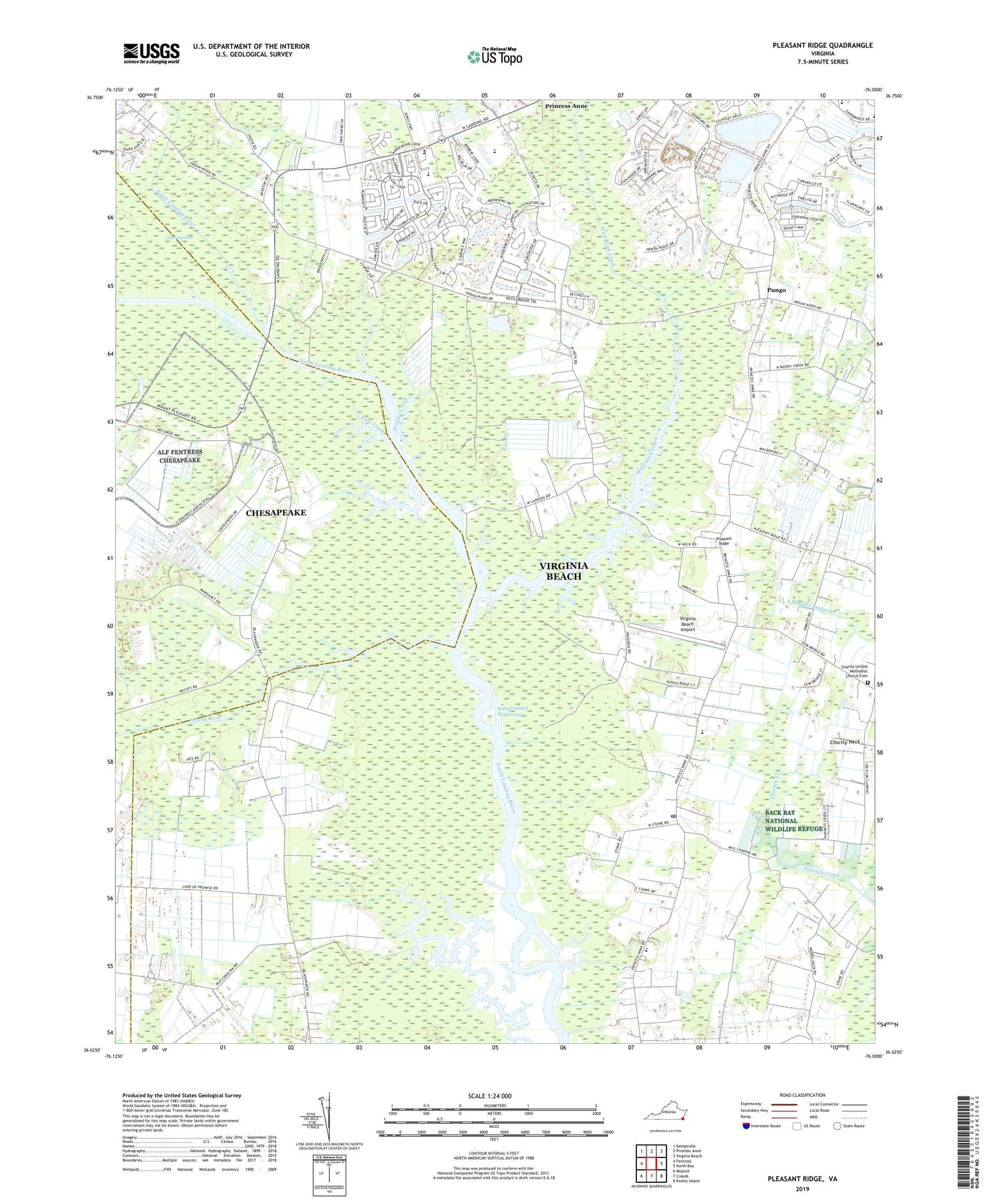
2022 topographic map quadrangle Pleasant Ridge in the state of Virginia. Scale: 1:24000. Based on the newly updated USGS 7.5' US Topo map series, this map is in the following counties: Virginia Beach (city), Chesapeake (city). The map contains contour data, water features, and other items you are used to seeing on USGS maps, but also has updated roads and other features. This is the next generation of topographic maps. Printed on high-quality waterproof paper with UV fade-resistant inks.
Quads adjacent to this one:
West: Fentress
Northwest: Kempsville
North: Princess Anne
Northeast: Virginia Beach
East: North Bay
Southeast: Knotts Island
South: Creeds
Southwest: Moyock
This map covers the same area as the classic USGS quad with code o36076f1.
Contains the following named places: Asbury Methodist Church, Back Bay, Backbay Post Office, Beech Grove Church, Bonney Landing, Camels Chapel, Charity United Methodist Church Cemetery, Christ Unity Oceanside Church, Christian Chapel Assembly of God Church, City Heliport, Court House Elementary School, Cow Creek, Creeds Elementary School, Dawley Corners, Floyd E Kellam High School, Haynes Creek, Heron Ridge Golf Club, Hope Haven Adult Home, Land of Promise, Lane Cemetery, Military Aviation Museum, North Landing, North Landing Elementary School, Pleasant Ridge, Pleasant Ridge Church, Pleasant Ridge School, Pocaty River, Princess Anne Middle School, Pungo, Pungo Field, Red Mill Elementary School, Saint John the Apostle Catholic School, Signature at West Neck Golf Course, Technical and Career Educational Center, Tidewater United Church of Christ, Virginia Beach Airport, Virginia Beach Police Aviation, Virginia Beach Public Library-Pungo-Backwater Area Library, Virginia Beach Sheriff's Office, West Landing, West Neck Creek, West Neck Marina, ZIP Code: 23456


