MyTopo
Upperville Virginia US Topo Map
Couldn't load pickup availability
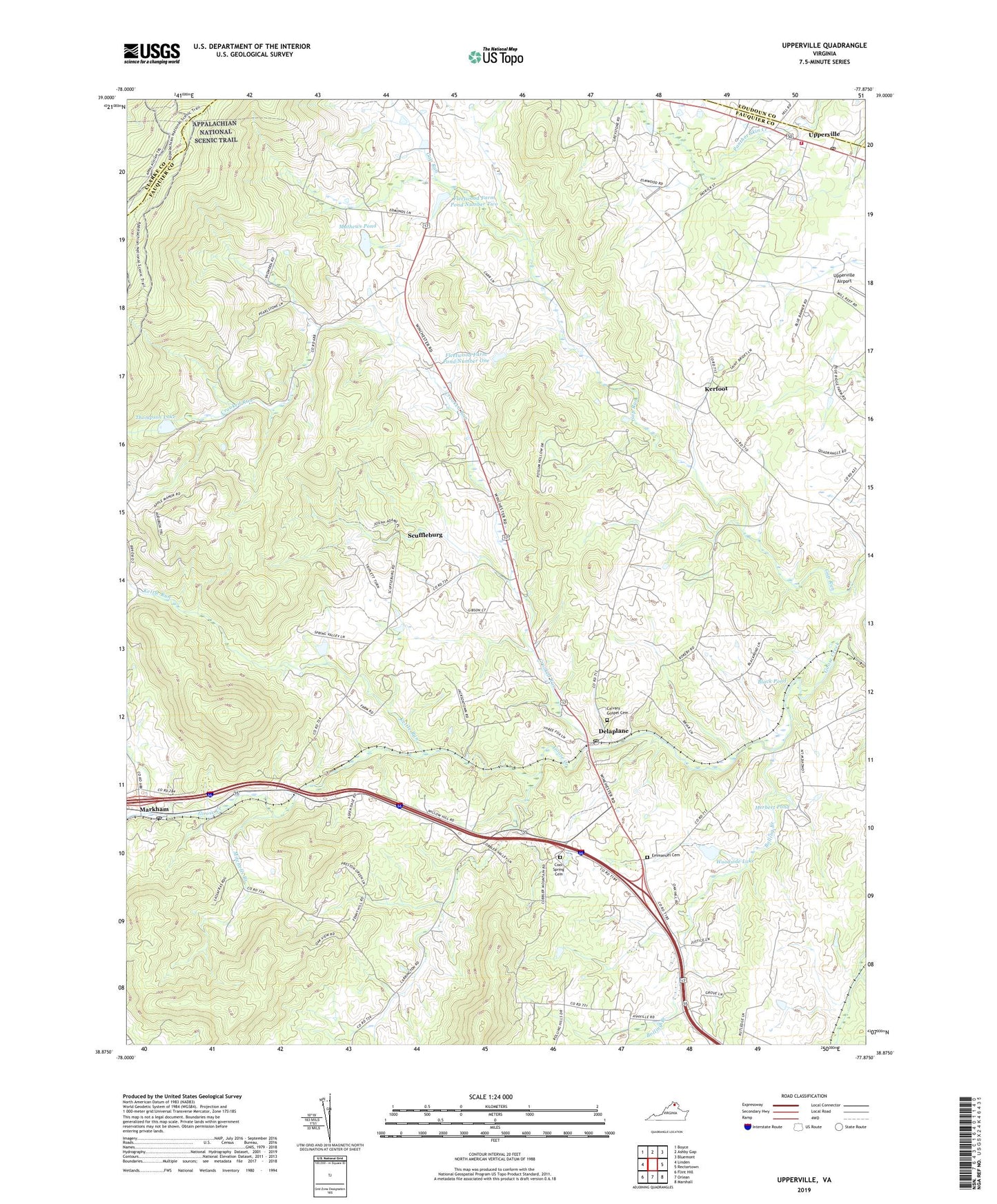
2019 topographic map quadrangle Upperville in the state of Virginia. Scale: 1:24000. Based on the newly updated USGS 7.5' US Topo map series, this map is in the following counties: Fauquier, Clarke, Loudoun. The map contains contour data, water features, and other items you are used to seeing on USGS maps, but also has updated roads and other features. This is the next generation of topographic maps. Printed on high-quality waterproof paper with UV fade-resistant inks.
Quads adjacent to this one:
West: Linden
Northwest: Boyce
North: Ashby Gap
Northeast: Bluemont
East: Rectortown
Southeast: Marshall
South: Orlean
Southwest: Flint Hill
Contains the following named places: Ashleigh, Ashville, Belle Grove, Beulah Church, Black Pond, Bolling Branch, Brockett Dam, Brookside, Brushy Mountain, Calvary Gospel Cemetery, Cool Spring Cemetery, Cool Spring Church, Crooked Run, Delaplane, Delaplane Post Office, Emmanuel Cemetery, Emmanuel Church, Fenny Hill School, Fleetwood Farm Dam Number One, Fleetwood Farm Dam Number Two, Fleetwood Farm Pond Number One, Fleetwood Farm Pond Number Two, Fleetwood Roller Mills, G R Thompson State Wildlife Management Area, Harris Airport, Herbert Dam, Herbert Pond, Highfield, Jacksontown, Kerfoot, Kettle Run, Lost Mountain, Markham Post Office, Mathews Dam, Mathews Pond, Mitchells Branch, Mount Pisgah Baptist Church, Naked Mountain, Orchard Hill Mountain, Pleasant Vale Church, Rawlingsdale, Red Oak Mountain, Rosenvix, Scuffleburg, Sky Meadows State Park, Springfield, Stribling Orchard, The Sage, Thompson Dam, Thompson Lake, Upperville, Upperville Census Designated Place, Upperville Historic District, Upperville Post Office, Upperville Volunteer Fire Company 5, Westminster Church, Woodside Lake, Yew Hill, ZIP Codes: 20144, 22643