MyTopo
Rectortown Virginia US Topo Map
Couldn't load pickup availability
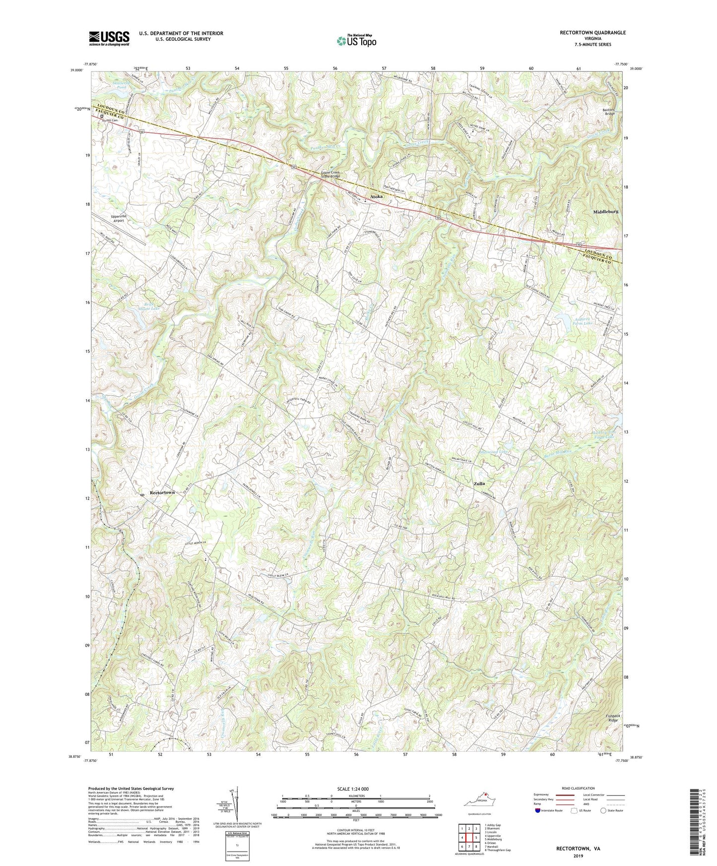
2022 topographic map quadrangle Rectortown in the state of Virginia. Scale: 1:24000. Based on the newly updated USGS 7.5' US Topo map series, this map is in the following counties: Fauquier, Loudoun. The map contains contour data, water features, and other items you are used to seeing on USGS maps, but also has updated roads and other features. This is the next generation of topographic maps. Printed on high-quality waterproof paper with UV fade-resistant inks.
Quads adjacent to this one:
West: Upperville
Northwest: Ashby Gap
North: Bluemont
Northeast: Lincoln
East: Middleburg
Southeast: Thoroughfare Gap
South: Marshall
Southwest: Orlean
This map covers the same area as the classic USGS quad with code o38077h7.
Contains the following named places: Ardarra Farm Dam, Ardarra Farm Lake, Atoka, Bentons Bridge, Brick House Dam, Brick House Lake, Claude Thompson Elementary School, Cromwells Run, Evergreen Heliport, Fishback Ridge, Five Points, Frogtown, Gap Run, Goose Creek Stone Bridge, Green Garden Farm, Heronwood Heliport, Hickory Tree Farm Lake, Ivy Hill Cemetery, Jeffries Branch, Lake Field School, Lakeland, Middleburg Academy, Middleburg Training Track, Milan Gristmill, Mount Olive Baptist Church, Oak Grove Meadows, Oakley, Panther Skin Creek, Phillips Corner, Rectortown, Rectortown Census Designated Place, Rectortown Post Office, Rock Hill, Rocky Creek, Sherwood Dam, Sherwood Lake, Skallerup Dam, Skallerup Pond, Upperville Airport, Upperville Park, Western View, Woodwards Store, Zulla


