MyTopo
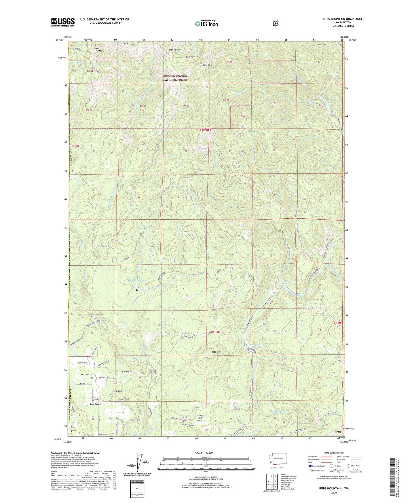
Bobs Mountain Washington US Topo Map
Couldn't load pickup availability
Also explore the Bobs Mountain Forest Service Topo of this same quad for updated USFS data
2023 topographic map quadrangle Bobs Mountain in the state of Washington. Scale: 1:24000. Based on the newly updated USGS 7.5' US Topo map series, this map is in the following counties: Skamania, Clark. The map contains contour data, water features, and other items you are used to seeing on USGS maps, but also has updated roads and other features. This is the next generation of topographic maps. Printed on high-quality waterproof paper with UV fade-resistant inks.
Quads adjacent to this one:
West: Larch Mountain
Northwest: Dole
North: Gumboot Mountain
Northeast: Lookout Mountain
East: Beacon Rock
Southeast: Multnomah Falls
South: Bridal Veil
Southwest: Washougal
This map covers the same area as the classic USGS quad with code o45122f2.
Contains the following named places: Bear Prairie, Bluebird Creek, Bluff Mountain, Bobs Mountain, Boyles Creek, Caldwell Dam, Camp Kwoneesum Dam, Camp Melacoma, Dougan Creek, Dougan Creek Campground, Dougan Creek Picnic Area, Dougan Falls, East County Fire and Rescue Station 96, Hagen Creek, Hard Scramble Creek, Jackson Creek, Last Chance Mine, Little Baldy, McCloskey Creek, Pohls Hill, Prospector Creek, Silver Creek, Silver Star Indian Pits, Silver Star Mountain, Silver Star Mountain Lookout, Skamania Mine, Sky River Ranch Airport, Sturgeon Rock, Texas Creek, Washougal Ponds, Washougal Radio Fan Marker Beacon, Washougal Ranger Station, Washougal State Salmon Hatchery, Wildboy Creek


