MyTopo
Cashmere Mountain Washington US Topo Map
Couldn't load pickup availability
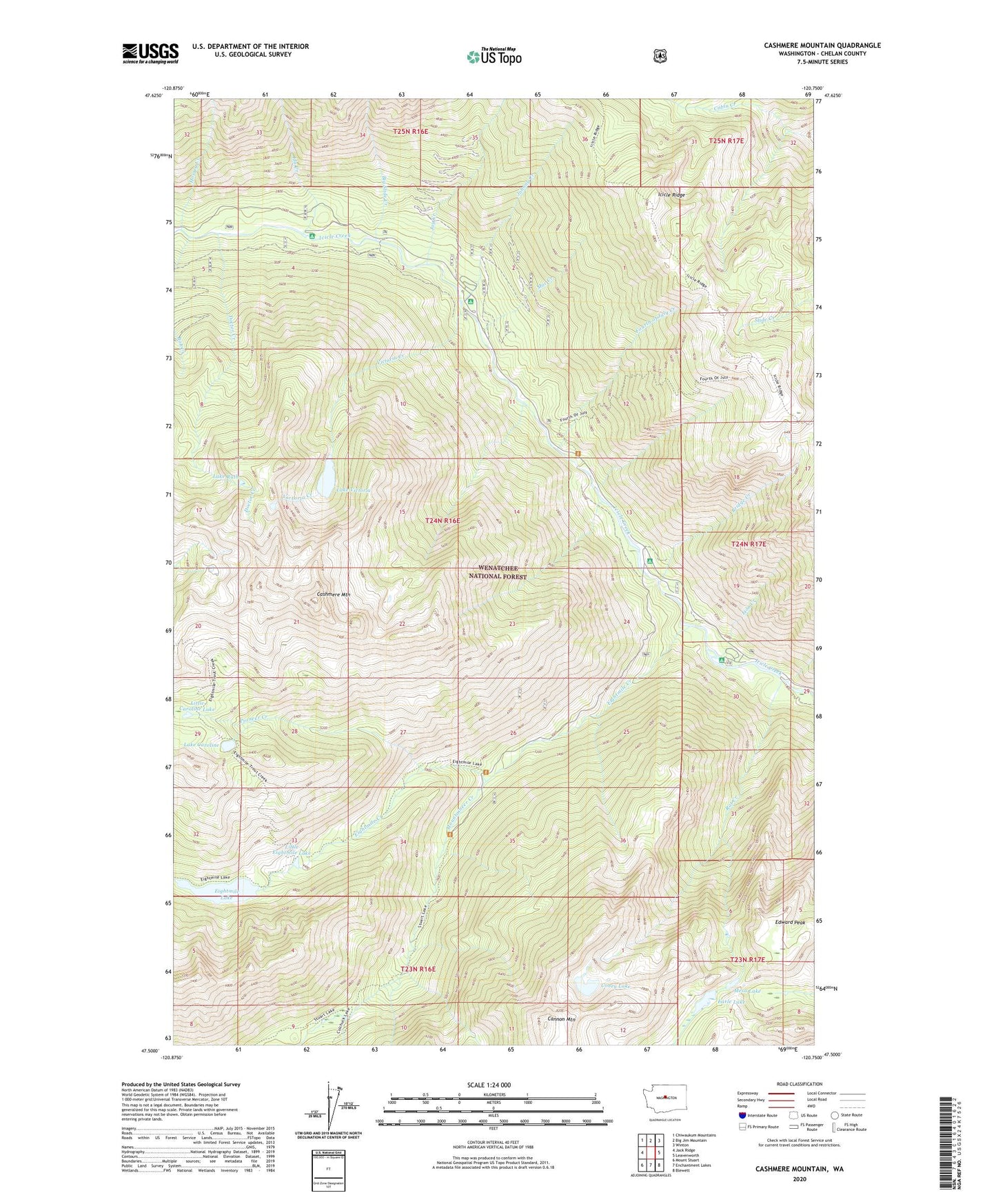
2020 topographic map quadrangle Cashmere Mountain in the state of Washington. Scale: 1:24000. Based on the newly updated USGS 7.5' US Topo map series, this map is in the following counties: Chelan. The map contains contour data, water features, and other items you are used to seeing on USGS maps, but also has updated roads and other features. This is the next generation of topographic maps. Printed on high-quality waterproof paper with UV fade-resistant inks.
Quads adjacent to this one:
West: Jack Ridge
Northwest: Chiwaukum Mountains
North: Big Jim Mountain
Northeast: Winton
East: Leavenworth
Southeast: Blewett
South: Enchantment Lakes
Southwest: Mount Stuart
Contains the following named places: Big Slide Creek, Bob Creek, Bridge Creek, Bridge Creek Campground, Cannon Mountain, Cashmere Mountain, Coney Lake, Doctor Creek, Earle Lake, Edward Peak, Eightmile Campground, Eightmile Creek, Eightmile Lake, Eightmile Lake Campground, Eightmile Lake Outlet Dam, Fourth of July Creek, Hoxsey Creek, Ida Creek, Ida Creek Campground, Jay Creek, Johnny Creek, Johnny Creek Campground, Lake Caroline, Lake Ruth, Lake Victoria, Lion Creek, Little Caroline Lake, Little Eightmile Lake, Mac Creek, Mesa Lake, Mountaineer Creek, Pioneer Creek, Rat Creek, Victoria Creek, Windy Pass